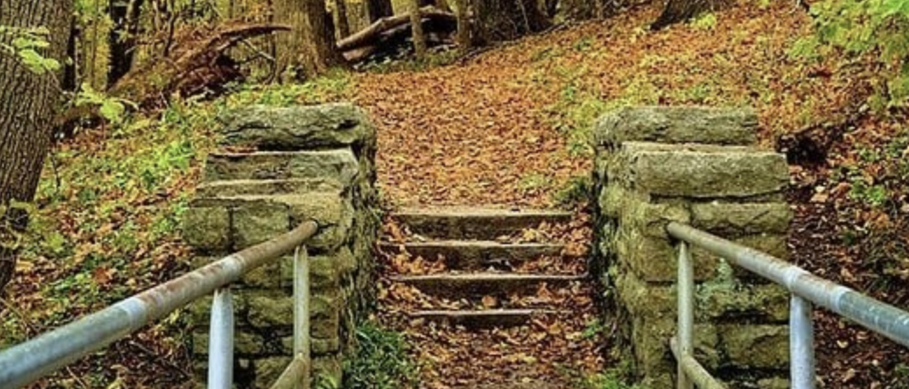
Are the doorways at a museum wide enough for wheelchairs? Does a state park have paved paths? Are there benches and rest areas for those who tire more quickly? These are some of the questions visitors to Iowa’s natural and cultural sites might ask before visiting. Too often, though, that information is difficult to find.
Pathfinders RC&D and IISC are in the early stages of an information-gathering and mapping project that will help Iowans and visitors to the state easily learn what features are available where. Those with knowledge of parks, museums, performance venues, playgrounds, and other sites, including city, county, and nonprofit workers who oversee these spaces, are encouraged to contribute to the map by responding to the survey.
Crowdsourcing for a better Iowa
“The survey is a crowdsourcing tool to help create a thorough map that will benefit the thousands of Iowans and tourists who visit these sites ,” says Travis Kraus, director IISC and a faculty member in the School of Planning and Public Affairs. “This is the best way to get a snapshot across all 99 counties. We really hope people across Iowa will contribute and make this a unique tool and model for other states.”
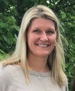
The idea for a statewide map came from Ashley Utt, director of Pathfinders RC&D. After hearing a parent of an adult child with disabilities talk about the frustration of trying to visit parks and not being able to find restrooms with adult changing tables, she was struck by the need for accurate and easy-to-find information.
“The fact that you often don’t know what will be available until you get to a place makes planning hard,” she says, noting that people can drive an hour or more with the hopes of enjoying a great outing, only to arrive and discover the only restroom is on a hill with no paved path.
Projects captures existing and needed features
Utt and her team created a map focused on their service area in south central Iowa, which includes the Historic Hills Scene Byway. As they visited each site and inventoried what was available, Utt realized the need for a statewide map. The project is now part of the nonprofit’s partnership with IISC, which brings tools and expertise in GIS mapping and the invaluable resource of staff and student research time.
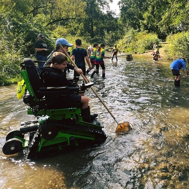
In January, Utt was featured on Talk of Iowa along with several other disabilities advocates. She encouraged listeners to contribute to the survey, which asks for those with firsthand experience to share accessibility features at sites across the state. The survey also asks what features users would like to see added. A list of 27 items is provided, spanning from the more expected, i.e., ADA accessible bathrooms, to less, such as touch tours and drinking fountains for service animals.
The current push of project organizers is to get the word out about the survey and encourage people to complete it. Organizations that maintain these spaces and have firsthand knowledge of amenities are encouraged to respond, including park personnel, museum and gallery staff, and city workers. The team hopes to roll out the new map in 2026.
Photo credits: Iowa DNR; Pathfinders RC&D; Dubuque County Conservation