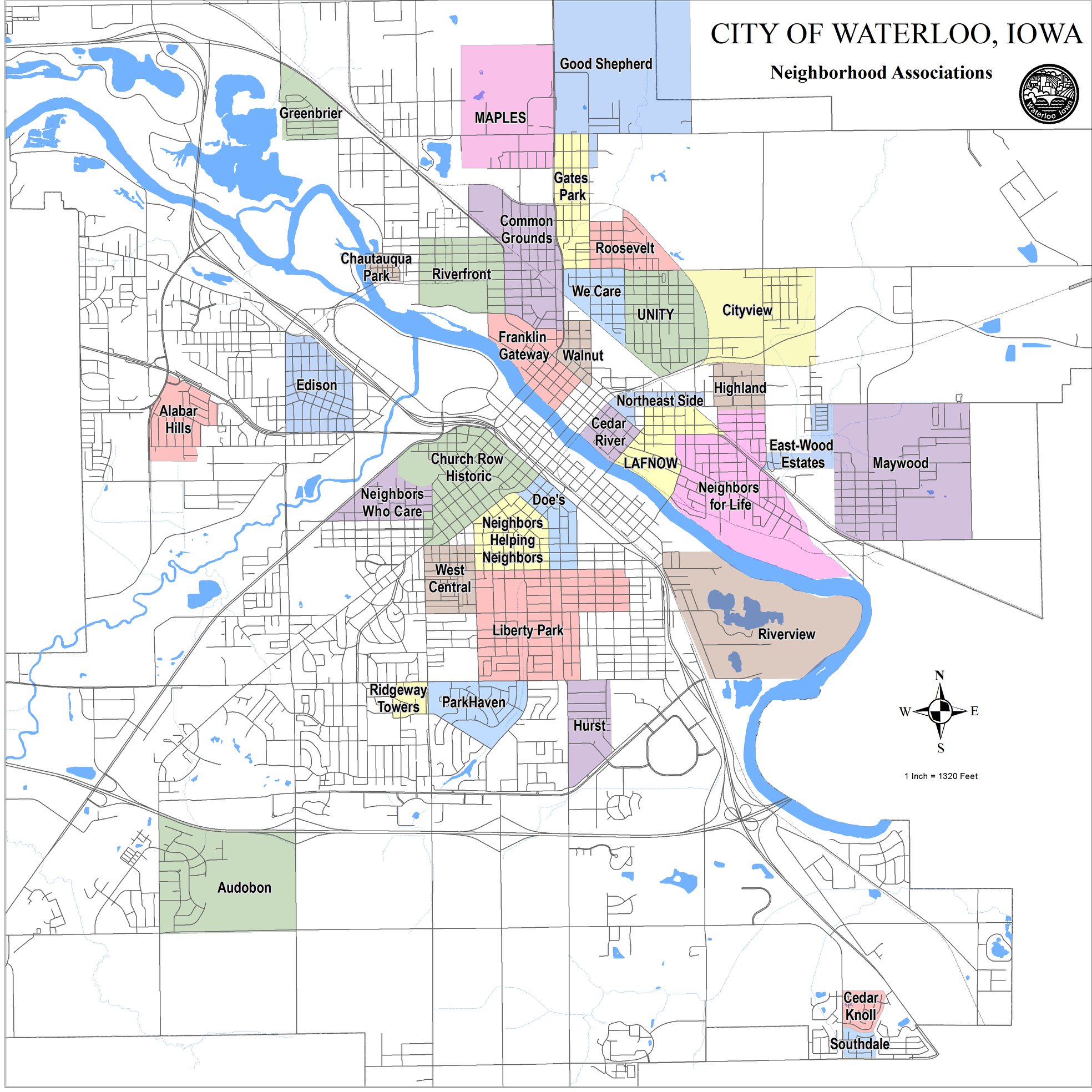
Waterloo Neighborhood Maps
Students in the ICIGO student organization within the Department of Geographical and Sustainability Sciences created visually-appealing and dynamic maps to show organizational and jurisdictional subsections of Waterloo.
The team used GIS applications to create a user-friendly online map that allows residents to easily access boundary information of distinct parts of the city, including all 31 neighborhood associations, wards and precincts, census tracts, and more.
Deliverables

Academic year
2020-2021
College/Department
Partner
Led by