Dubuque - Tree Canopy GIS Tool
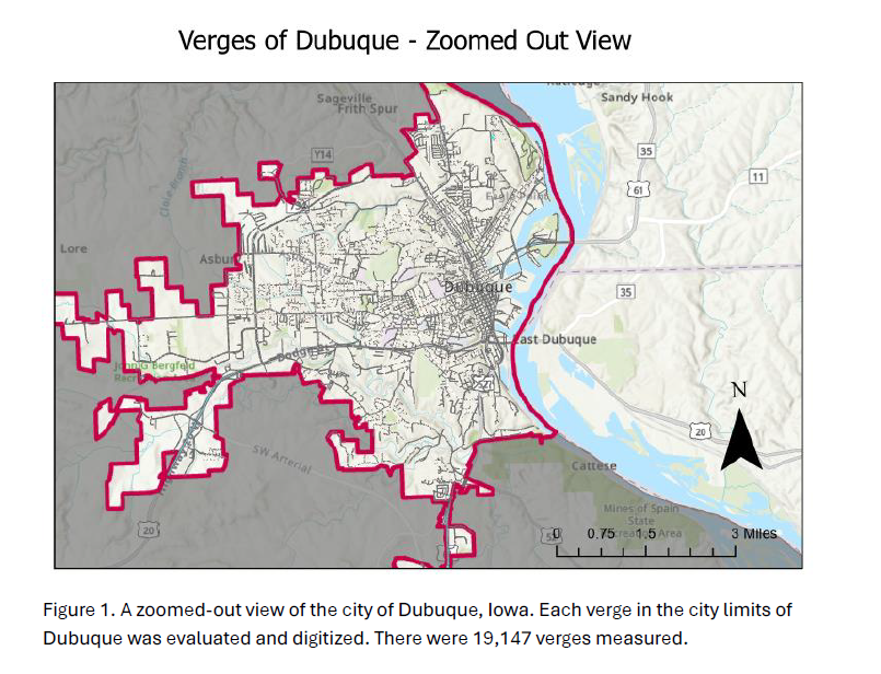
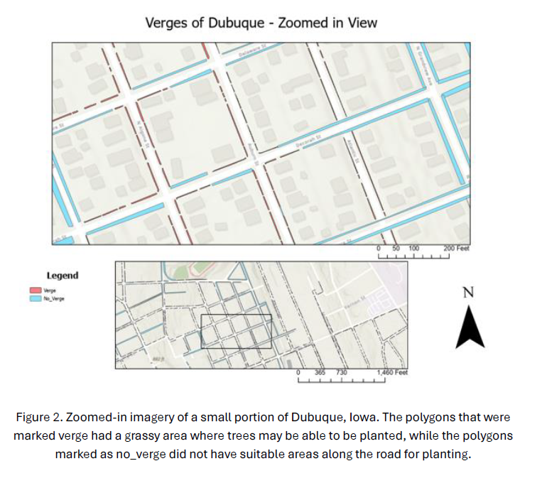
As part of the ICIGO student organization within the Department of Geographical and Sustainability Sciences, Environmental Science major Luke Caron digitized "road verges" - strips of groundcover located between a roadway and a sidewalk - to help the City of Dubuque identify the best opportunities to enhance the city's tree canopy.
In 2023, the City of Dubuque was awarded a $1.5 million grant from the U.S Forest Service to plant 6,660 new trees in the community. The tree planting is expected to increase Dubuque’s overall tree canopy cover from 26.2% to 40%, with a focus on planting trees in disadvantaged census tract areas including the Washington neighborhood, Point neighborhood, North End and West End. Roughly 1,300 trees will be planted each year for five years through the program.
A robust tree canopy can reduce surface temperatures, help reduce energy costs, make walking or biking more enjoyable, and provide shaded areas to socialize.
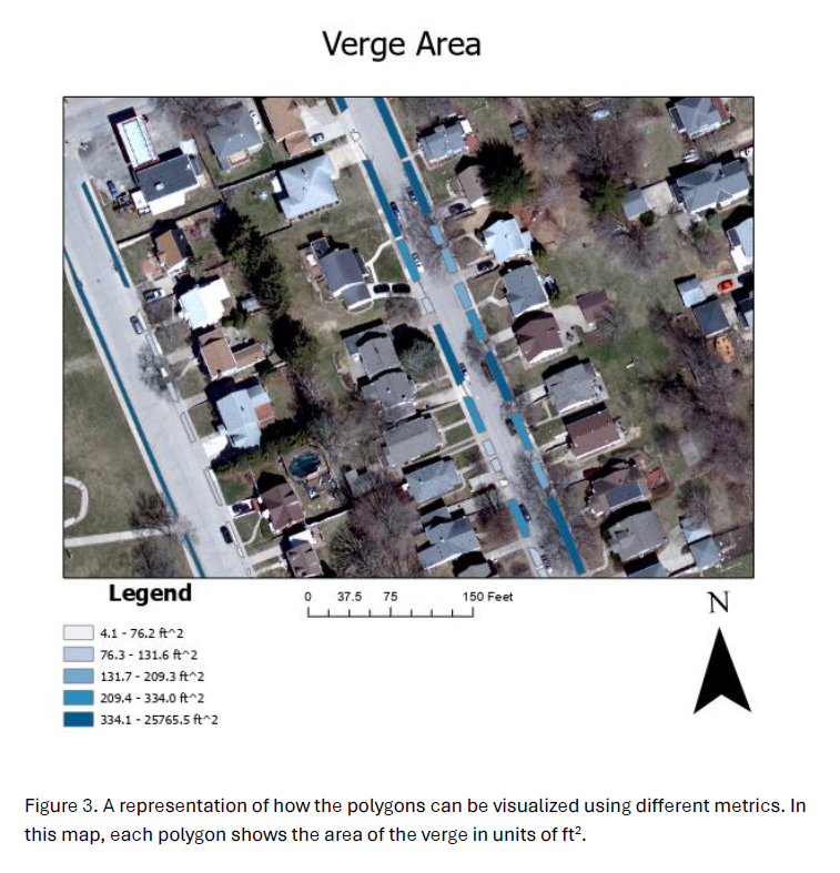
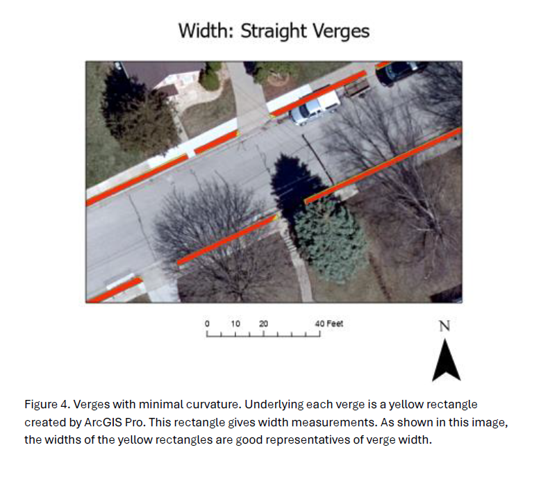
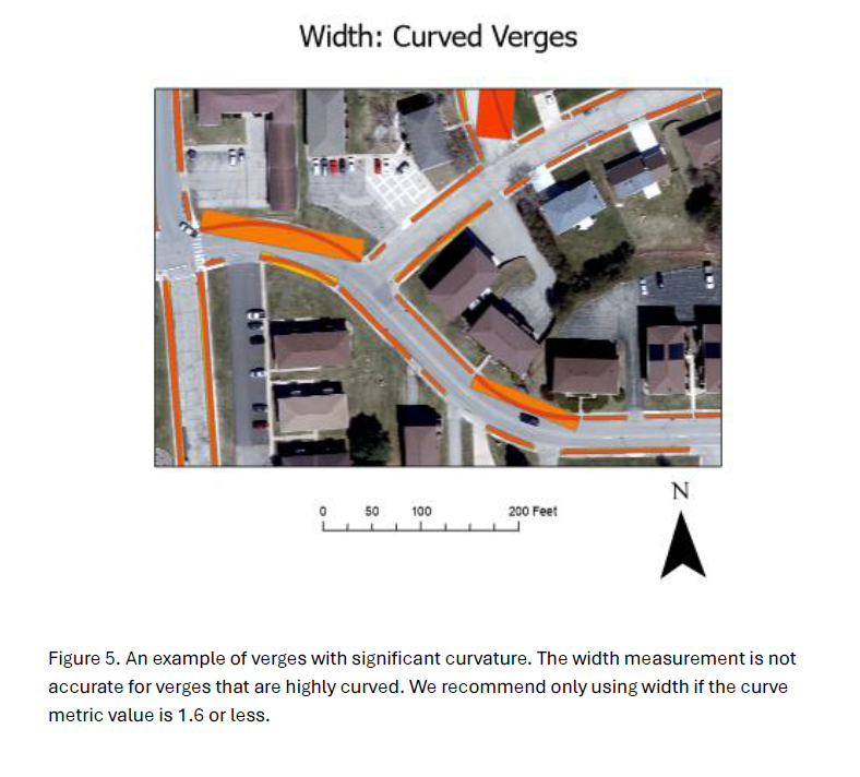
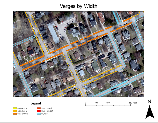
To assist with this project, Luke Caron, through the student organization ICIGO, digitized an astonishing 19,147 "road verges" across the entire city to help determine spots that are suitable and optimal for planting the trees. Much of the work required manual digitization of individual verges. The final deliverable is a geodatabase provided to the City of Dubuque.