GIS

West Branch - Land Value Mapping Study
As part of the ICIGO student organization within the School of Earth, Environment, and Sustainability, students conducted a land value mapping study.
ICIGO students utilized 2025 assessor data and GIS to visualize the assessed value of land in West Branch, normalized by determining the value of the each parcel by one acre. The resulting map provides a snapshot of relative value by land use, which can inform local officials about future land use decisions.
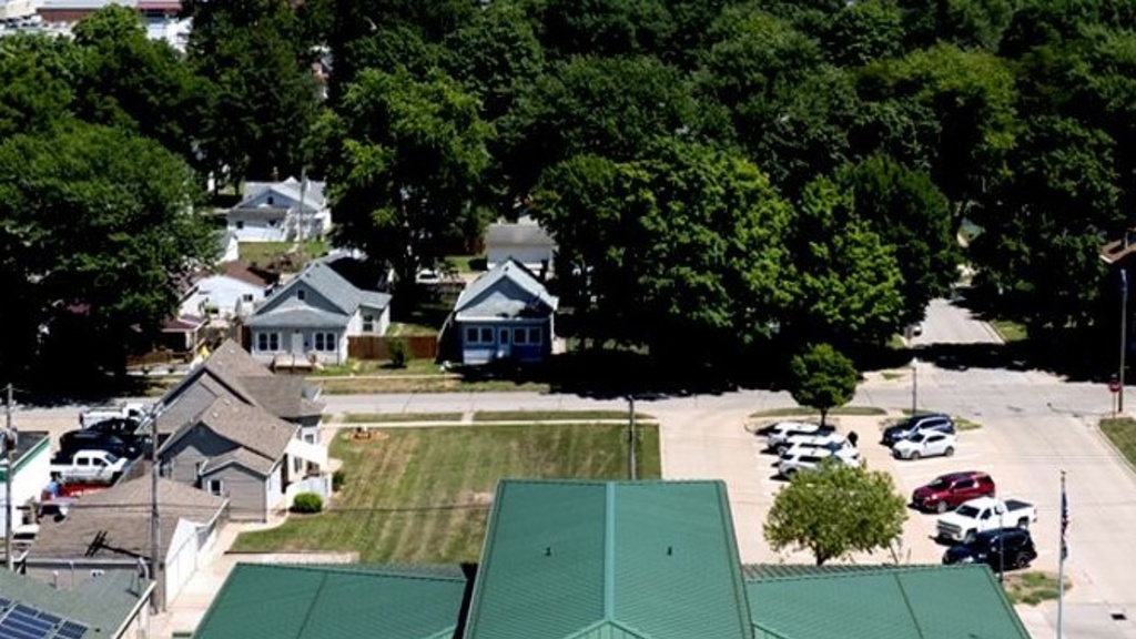
West Burlington GIS Data Development
Students in ICIGO created and mapped a wide range of data for the City of West Burlington using Geographic Information System (GIS) tools to help local officials identify opportunities for community improvements.
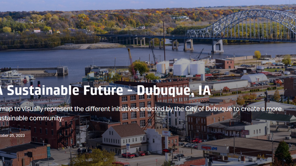
StoryMap of Dubuque's Sustainability Infrastructure Projects
As part of the ICIGO student organization within the Department of Geographical and Sustainability Sciences, students created a StoryMap that highlights green infrastructure projects in Dubuque.
The city of Dubuque has been widely recognized for prioritizing sustainability in community and economic development. ICIGO students created a StoryMap highlights many of the current and past initiatives that help make Dubuque a more sustainable and resilient community.
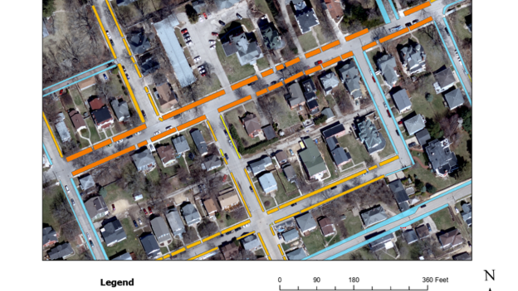
Dubuque - Tree Canopy GIS Tool
As part of the ICIGO student organization within the Department of Geographical and Sustainability Sciences, Environmental Science major Luke Caron digitized "road verges" - strips of groundcover located between a roadway and a sidewalk - to help the City of Dubuque identify the best opportunities to enhance the city's tree canopy.
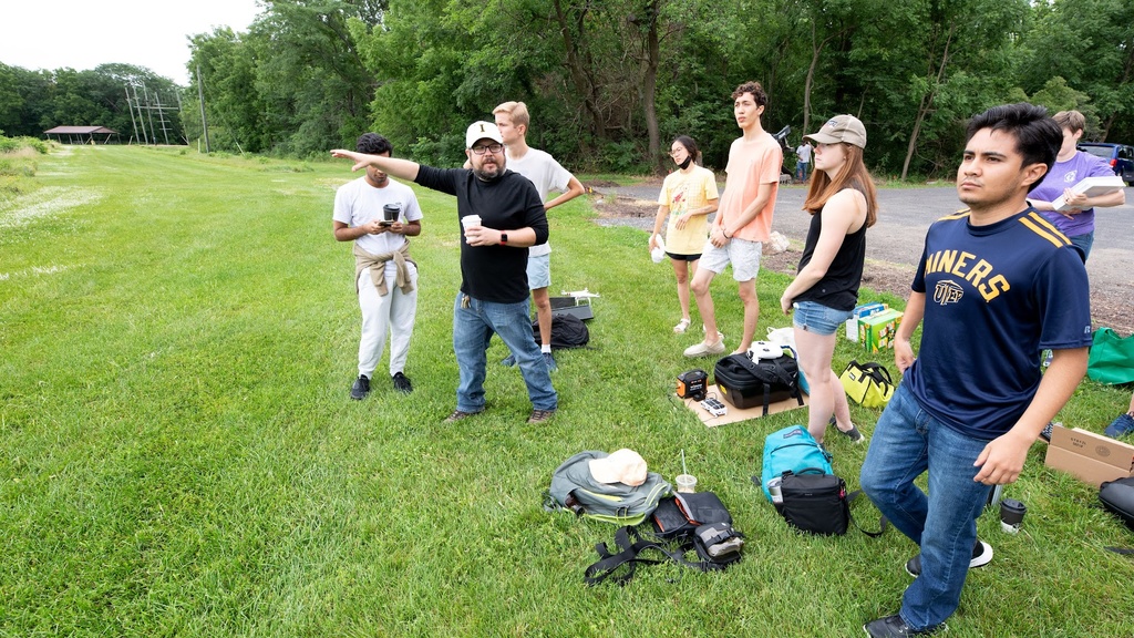
Mapping Real World Problems
Bondurant - GIS Mapping and Analysis Projects
As part of the ICIGO student organization within the Department of Geographical and Sustainability Sciences, students provided GIS mapping and analysis support for the City of Bondurant on five topics: a digitized stream buffer, mapping the community's tree canopy, mapping rental properties, spatial analysis of assessed property valuation, and a sidewalk inventory.

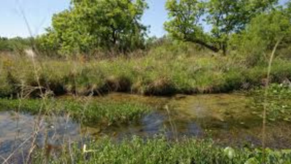
Maquoketa River Watershed Interactive GIS Map
As part of the ICIGO student organization within the Department of Geographical and Sustainability Sciences, students created an interactive GIS map for the Maquoketa River watershed. The students used Geographic Information Systems (GIS) tools to make a user-friendly map showing important features of the watershed.

Preston Sewer and Water GIS Mapping
As part of the ICIGO student organization within the Department of Geographical and Sustainability Sciences, students digitized hand made files of the current sewer and water system in Preston, Iowa using Geographic Information Systems (GIS) tools.