Maquoketa River Watershed Interactive GIS Map
As part of the ICIGO student organization within the Department of Geographical and Sustainability Sciences, students created an interactive GIS map for the Maquoketa River watershed. The students used Geographic Information Systems (GIS) tools to make a user-friendly map showing important features of the watershed.
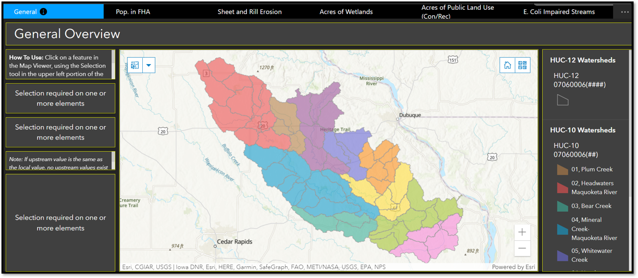
Representatives of the Maquoketa River Watershed Management Authority (MRWMA) requested a web-based tool that can provide location-specific information to the general public about important features and issues in the Maquoketa River watershed. ICIGO students designed an application that generates reports based on a point or area selected by the user, providing useful data at the subwatershed (HUC-12) level. The tool currently shows static information using, in part, data and analyses conducted by graduate planning students for the development of the Maquoekta River Watershed Management Plan (also an IISC project). Future iterations of the tool could have more real-time, dynamic data.