Earth, Environment & Sustainability
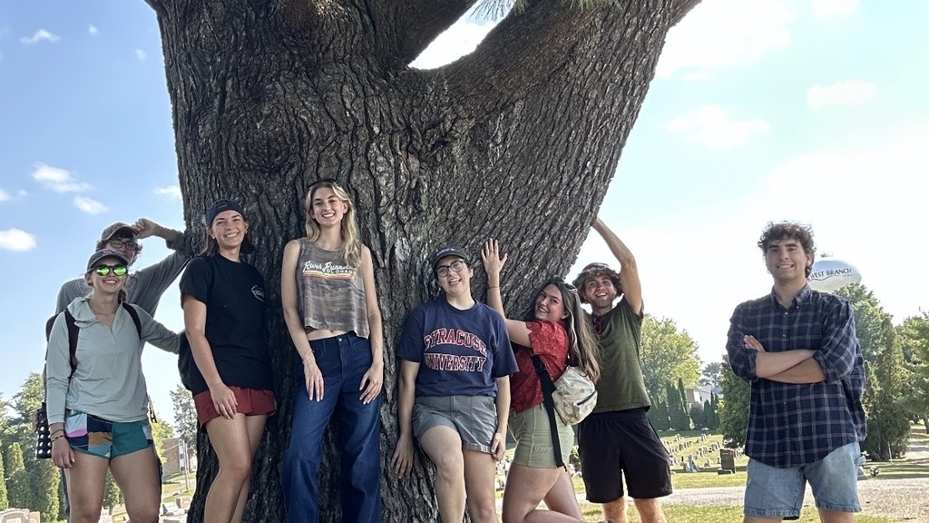
West Branch – Public Tree Inventory
As part of the ICIGO student organization within the School of Earth, Environment, and Sustainability, students will conduct an on-site tree study and create a GIS-based digital inventory tool for city-owned trees in West Branch, Iowa.
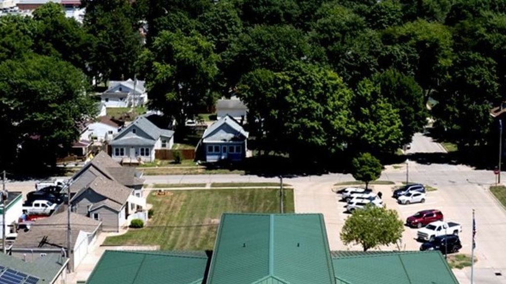
West Burlington GIS Data Development
Students in ICIGO created and mapped a wide range of data for the City of West Burlington using Geographic Information System (GIS) tools to help local officials identify opportunities for community improvements.
Pathfinders - Mapping Accessibility in Iowa’s Cultural Destinations
Students from Public Affairs and from a GIS student organization will help Pathfinders RC&D develop a statewide database and map of accessibility features in Iowa's parks, natural areas, and cultural spaces.
A new statewide initiative from Pathfinders Resource Conservation and Development (RC&D) aims to help individuals with disabilities and their caregivers better navigate opportunities to enjoy Iowa’s parks and cultural spaces.
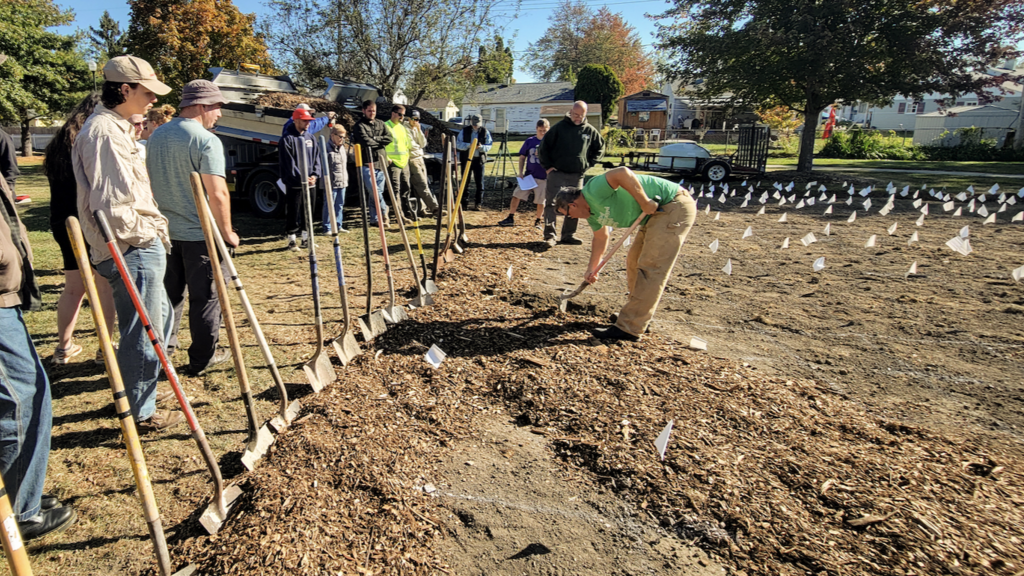
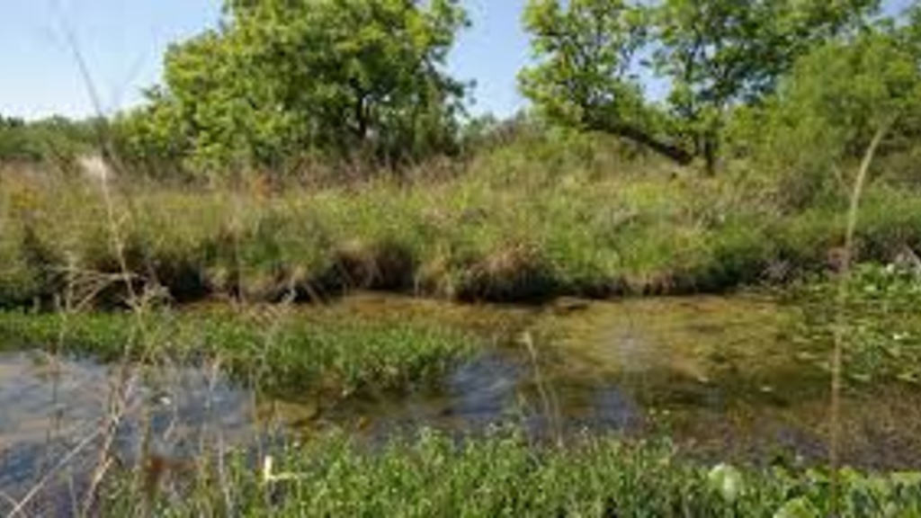
West Burlington - Pollinator Garden
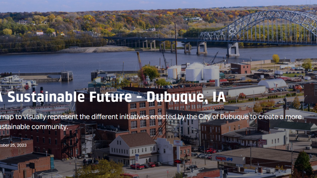
StoryMap of Dubuque's Sustainability Infrastructure Projects
As part of the ICIGO student organization within the Department of Geographical and Sustainability Sciences, students created a StoryMap that highlights green infrastructure projects in Dubuque.
The city of Dubuque has been widely recognized for prioritizing sustainability in community and economic development. ICIGO students created a StoryMap highlights many of the current and past initiatives that help make Dubuque a more sustainable and resilient community.
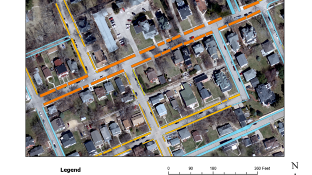
Dubuque - Tree Canopy GIS Tool
As part of the ICIGO student organization within the Department of Geographical and Sustainability Sciences, Environmental Science major Luke Caron digitized "road verges" - strips of groundcover located between a roadway and a sidewalk - to help the City of Dubuque identify the best opportunities to enhance the city's tree canopy.
Bondurant - GIS Mapping and Analysis Projects
As part of the ICIGO student organization within the Department of Geographical and Sustainability Sciences, students provided GIS mapping and analysis support for the City of Bondurant on five topics: a digitized stream buffer, mapping the community's tree canopy, mapping rental properties, spatial analysis of assessed property valuation, and a sidewalk inventory.

Maquoketa River Watershed Interactive GIS Map
As part of the ICIGO student organization within the Department of Geographical and Sustainability Sciences, students created an interactive GIS map for the Maquoketa River watershed. The students used Geographic Information Systems (GIS) tools to make a user-friendly map showing important features of the watershed.

Preston Sewer and Water GIS Mapping
As part of the ICIGO student organization within the Department of Geographical and Sustainability Sciences, students digitized hand made files of the current sewer and water system in Preston, Iowa using Geographic Information Systems (GIS) tools.

Manchester Digital Tree Inventory Tool
As part of the ICIGO student organization within the Department of Geographical and Sustainability Sciences, students conducted an on-site tree study and created a GIS-based digital inventory tool for city-owned trees in Manchester, Iowa.

Fire Rescue Community Risk Assessment
As part of the ICIGO student organization within the Department of Geographical and Sustainability Sciences, students used GIS to analyze risk factors and indicators of emergency management hotspots in Waterloo.
Community Risk Reduction is defined as “a process to identify and prioritize local risks, followed by the integrated and strategic investment of resources (emergency response and prevention) to reduce their occurrence and impact” (Vision 20/20).

Waterloo Neighborhood Maps
Students in the ICIGO student organization within the Department of Geographical and Sustainability Sciences created visually-appealing and dynamic maps to show organizational and jurisdictional subsections of Waterloo.
The team used GIS applications to create a user-friendly online map that allows residents to easily access boundary information of distinct parts of the city, including all 31 neighborhood associations, wards and precincts, census tracts, and more.