West Burlington GIS Data Development
Students in ICIGO created and mapped a wide range of data for the City of West Burlington using Geographic Information System (GIS) tools to help local officials identify opportunities for community improvements.
ICIGO is a student organization within the Department of Geographical and Sustainability Sciences that utilizes experiences and skills gained in the classroom to support projects focused on sustainability in the community and state. ICIGO provides hands-on experience with GIS applications, provides project management and team collaboration experiences, and prepares them for careers that involve deep engagement with information to inform decision-making.
The City of West Burlington had a long-list of ideas for ICIGO students to map in GIS. Over the course of two semester, two students built a geodatabase of 27 datasets. Some of the maps and datasets are:
- Bus stops and routes
- Census data
- Emergency response times
- Emergency shelters
- Federal road classifications
- Flood-related information
- Housing
- Parks
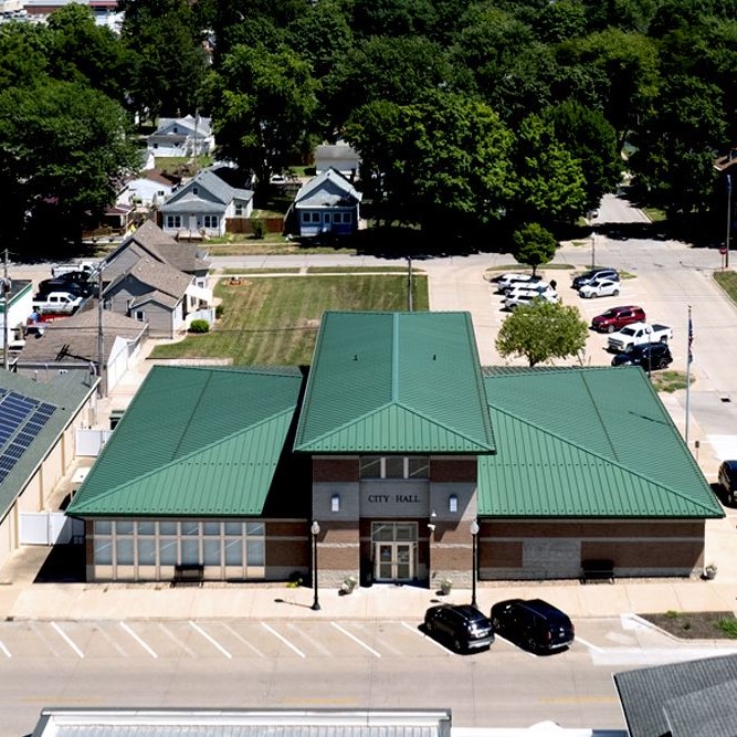
- Public facilities
- Biking and hiking trails
- Solar energy potential
- Tree canopy
- Traffic
- Crash Data
- Utilities
- Watersheds
ICIGO also used Google street view to observe every sidewalk crossing in the city, mapping ADA curb ramps so that city leaders could identify gaps in sidewalk amenities. The final deliverable was provided in the form of a geodatabase to the City of West Burlington.