Earth, Environment & Sustainability
Farmers' Market Mapping
Students from the Geographical and Sustainability Sciences department used GIS to map the sources of the farmers’ market products and locations of their vendors, giving consumers, and market managers - it is a visual understanding of the area over which the local products are sourced. In addition, students researched how the locations of these vendors and the market correspond to food recovery institutions to assist the Farmers’ Market in forming future collaborations.
Ecosystem Services
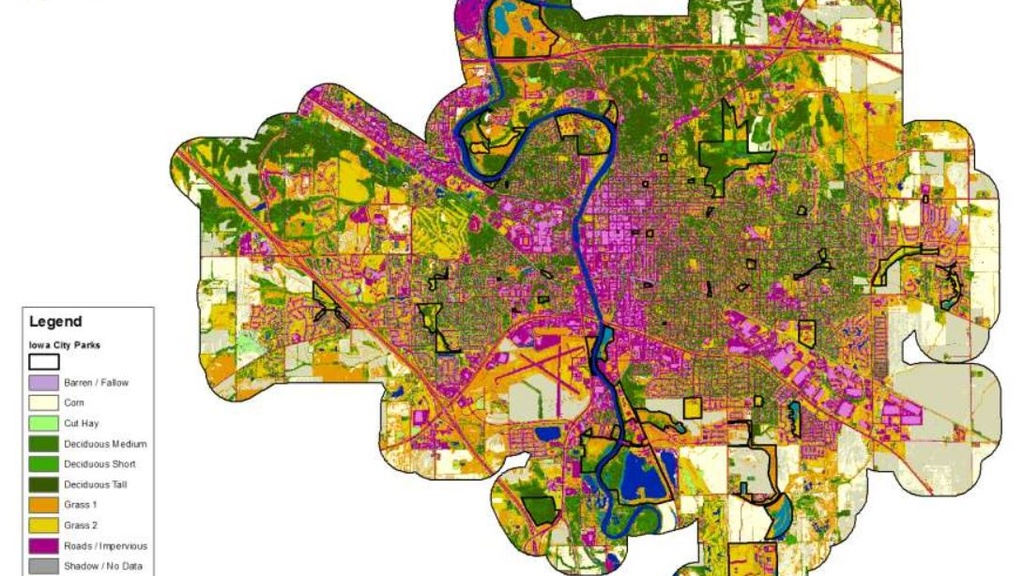
To help the City of Iowa City continue to foster the benefits of its natural areas, students from the Department of Geographical and Sustainability Sciences conducted two research projects on the ecological services provided by the parks and open spaces in the city. The first project used hedonic pricing to research how the valuation of different kinds of open spaces contribute to the values of detached single-family homes.

Land Cover and Conservation
Consistent with the Iowa Nutrient Reduction Strategy (INRS), Winneshiek sought to reduce phosphorus and nitrogen pollution from nonpoint sources. To achieve this goal, the County was interested in gaining information about land use and conservation practices in the area.
Blufflands Protection
Students in the Geographical and Sustainability Sciences program develop a methodology for mapping blufflands using Geographic Information Systems (GIS) technology.
Mapping and Prediciting Potential Frac Sand Mine Locations
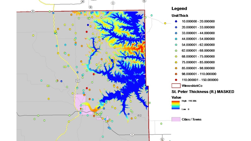
Researchers from the GEEMaP program, College of Engineering, and Department of Earth & Environmental Sciences collaborated to predict and map where frac sand mines may be most likely to occur in Winneshiek County if the industry enters the area.

STAR Sustainability Assessment
Students in the Department of Geographical and Sustainability Sciences assisted the City of Iowa City with their Leadership STAR Community Program application by gathering information about City policies, practices and actions in the areas assessed by STAR.
Enhancing Urban Pollinator and Beneficial Insect Habitat
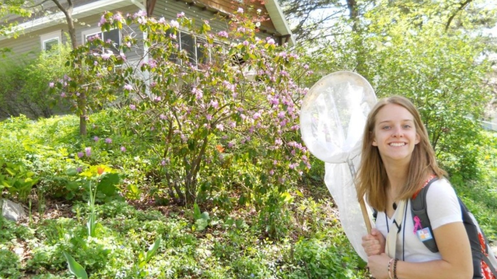
Students researched bee diversity in Iowa City, compared it to bee diversity in prairie and agricultural settings, and related it to floral diversity in each setting. They used pan trapping and sweep netting methods to collect bees during their research. They offered recommendations to the City of Iowa City to help the area maintain and increase urban bee diversity.
Emerald Ash Borer: Monitoring and Management
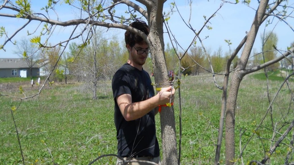
Students conducted research on Iowa City’s ash trees to help prepare for the emerald ash borer (EAB) and develop a response plan. Students used various survey methodologies to assess current ash tree condition and coverage in Iowa City, including counting the trees, recording their GPS coordinates, and measuring their characteristics. Using this data, students created a map of ash tree coverage and identified priority sites in which they recommend that the city implement monitoring and management strategies.
Soil Analysis of Potential Urban Agriculture Areas within City Limits
Students in the Earth and Environmental Sciences program evaluated soils at the Chadek property, which was a vacant city lot located in the Morningside neighborhood of Iowa City, south of City High and a few blocks west of 1st Ave.