Master Plan for Clinton’s Liberty Square District
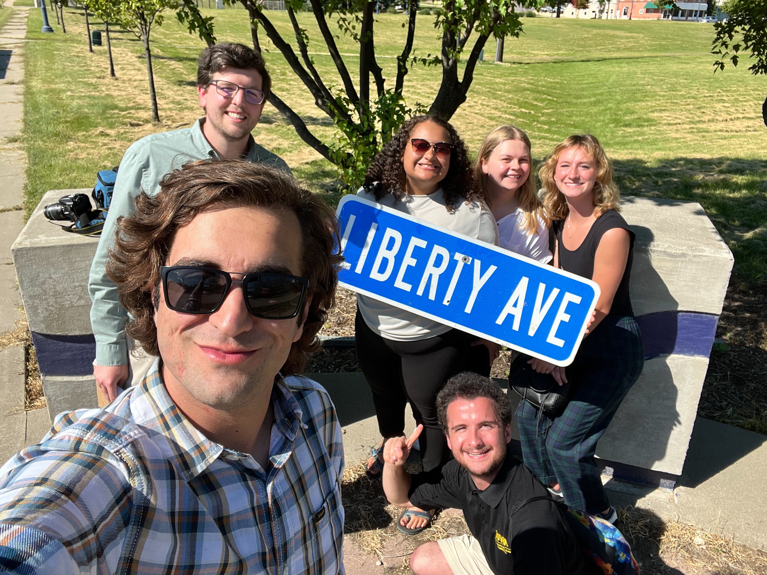
For their capstone project, students in Planning and Sustainable Development created plans and strategies to develop Liberty Square, a narrow stretch of primarily city-owned property that runs between and adjacent to the split four lanes of Highway 30.
The City developed an overlay zone for the Liberty Square District in 2002, with land use designs for commercial and small manufacturing. After nearly 20 years without any significant development, city officials want to evaluate and update the previous land use plans and ordinances to encourage new uses and investment on the property.
A master plan is a long-term planning document that provides analysis, conceptual layouts, and recommendations for future growth and development. Public input, physical characteristics, and social and economic conditions were important considerations for the development of the master plan.
Other important physical considerations include transportation planning and infrastructure, pedestrian and bicycle amenities, utility infrastructure, water management, open space, and biodiversity. Another potential challenge for use and development of Liberty Square is the sprawling ADM bioprocessing facility that runs parallel to the property, creating heavy volumes of truck traffic, obscuring the Mississippi River, and emitting pungent odors on occasion. The master plan includes an assessment of sustainability dimensions of the project and incorporates sustainable development concepts. Additionally, the master plan outlines strategic actions, ordinances, and funding mechanisms for achieving the vision for the district.
Watch a 3D Video of How a Transportation Redesign would look with Actual Traffic Patterns
Watch a 3D Flythrough of the Final Concept Map
