Economic Development

Interactive Art on Trout Run Trail
MFA students in the School of Art and Art History created 10 small statues of Nisse, gnome-like figures from Scandinavian folklore, for the 2015 Nordic Fest Celebration.
Following the success of the "Gnomes on the Trail" event during the 2013 Nordic Fest celebration, the Winneshiek County Conservation Board aimed to create new gnome statues along the trail for trail users to interact with.
UI ceramics artists Andrew Haley and Keva Hawkes created 18 Nisse scultures for the trail.
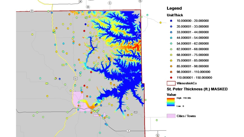
Mapping and Prediciting Potential Frac Sand Mine Locations
Researchers from the GEEMaP program, College of Engineering, and Department of Earth & Environmental Sciences collaborated to predict and map where frac sand mines may be most likely to occur in Winneshiek County if the industry enters the area.
Frac Sand Mining Industry Legal Analysis
Students in the College of Law conducted statutory and case law research to contribute to the development of the potential regulations being considered by Winneshiek County. In response to the potential entry of the frac sand mining industry into the area, Winneshiek County sought research and recommendations on best practices for interacting with the industry. This project brought together the University of Iowa Citizen lawyer program with county attorneys to provide legal research and analysis on regulatory options available to the county.
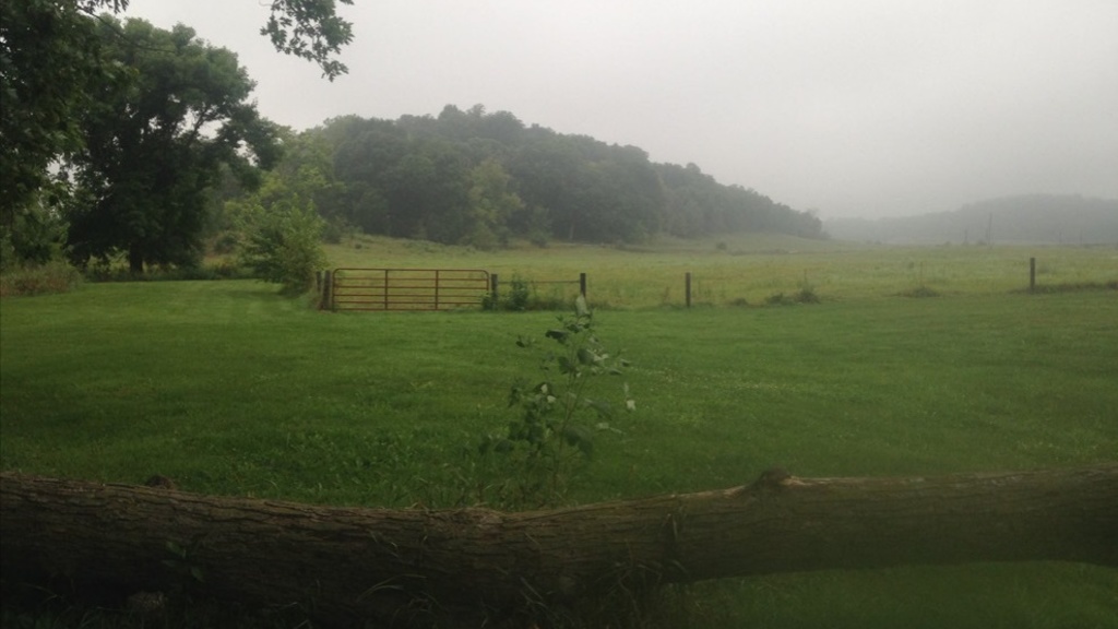
Economic Impact Study of Frac Sand Mining Industry
Winneshiek County sought to understand the possible economic impacts that the frac sand mining industry could have if it became established in the county. For this project, graduate students in the School of Urban and Regional Planning performed a comprehensive economic impact study that evaluated the short and long-term gains and losses to the county's economy that could follow from the industry’s establishment. The students assumed a single-mine scenario to contextualize mining impacts in three areas: county accounts, private accounts, and social costs.

Neighborhood Housing Study
Students from the Urban and Regional Planning Department completed a housing plan for Sioux City, IA with the main goal of coordinating reinvestment in distressed areas.

Leeds/Floyd Boulevard Corridor Study
This project focused on the Leeds Neighborhood, located in northeast Sioux City. The commercial corridor within this neighborhood serves as the northeast entryway into Sioux City. The corridor contains a mixture of small retail stores, restaurants, and service establishments that serve the local neighborhood. As new national brand commercial developments continue to develop to the south of the Leeds neighborhood, the future character of its commercial corridor has been called into question. Students from the Urban & Regional Planning Dept.

Active Transportation Plan - Blue Zones Project™
Graduate students in the School of Urban and Regional Planning conducted a project that aided Sioux City in fulfilling its recently-designated Blue Zones ProjectTM requirement of developing an active transportation plan.
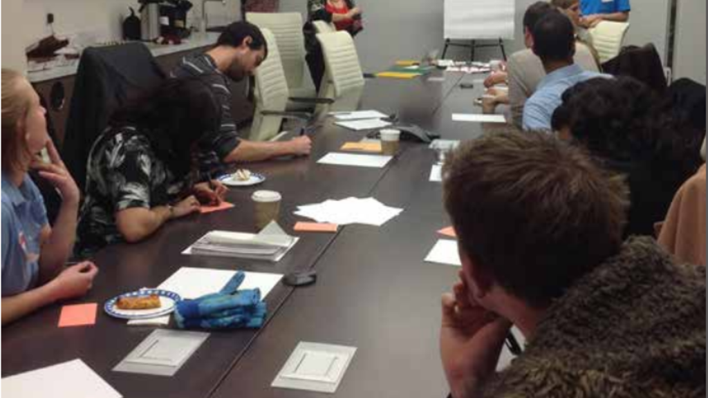
Attracting and Retaining a Quality Workforce in Cedar Rapids
Student in the School of Urban and Regional Planning conducted a project that evaluated the workforce of Cedar Rapids and determined the gap between supply and demand for quality workers. Students sought to understand the reasons for both attracting and retaining new workers.
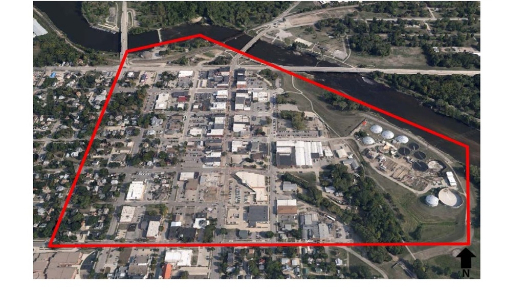
SSMID Planning, Creation, and Implementation
Students in the School of Urban and Regional Planning conducted research on best practices for creation of a SSMID for Cedar Rapids, IA. Students held public meetings and worked with CV/NB Main Street staff to acquire the necessary support to pass a SSMID.

North East Corridor Project
Students analyzed a land use plan against development in the northeast section of the city, and, where appropriate, enhanced the concepts contained in the plan.
Welcome Center
As part of the Senior Design Capstone Course of the Department of Civil and Environmental Engineering, the students had the opportunity to complete a site design for the Center Complex and the structural design of the Welcome Center for the city of Muscatine. The students coordinated with the City in the building design specifications so it is capable of hosting all the desired programs envisioned by interested parties.
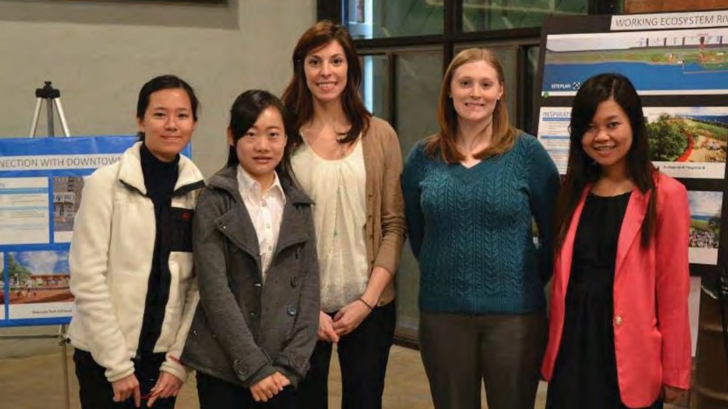
Mississippi Riverfront Redevelopment Plan
Students surveyed best practices of community riverfront redevelopment efforts similar to what was being looked at for the redevelopment of the section of the Mississippi River in Muscatine. The students solicited community input to identify the best uses for the land, ultimately producing a plan for the riverfront.