School of Planning and Public Affairs
Pathfinders RC&D - Reducing Administrative Burdens for Families in Need
For their MPA capstone project, a group of students will conduct research (e.g. literature review, case studies) to better understand the burden to families and individuals that need to access multiple service providers. They will locate approaches that other communities have developed to make connecting with services more streamlined by offering a single point of contact. During the Spring semester, the group will focus on engaging stakeholders, analyzing existing local conditions, and tailoring recommendations to the region.
Pathfinders RC&D - Oskaloosa Downtown Master Plan
For their capstone project, a team of graduate students in Urban and Regional Planning developed a comprehensive document to guide the future of downtown Oskaloosa. The Oskaloosa Downtown Master Plan focuses particularly on how use of public spaces (e.g. transportation infrastructure, public property) as well as other public support mechanisms (e.g. policies and programming) to enhance and strengthen the downtown district as the heart of the community.
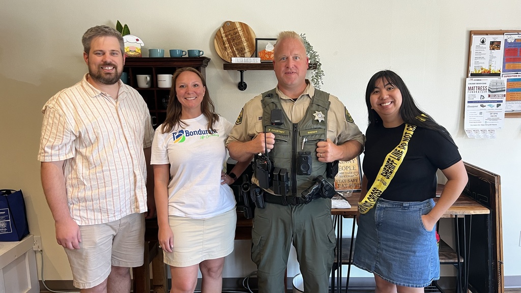
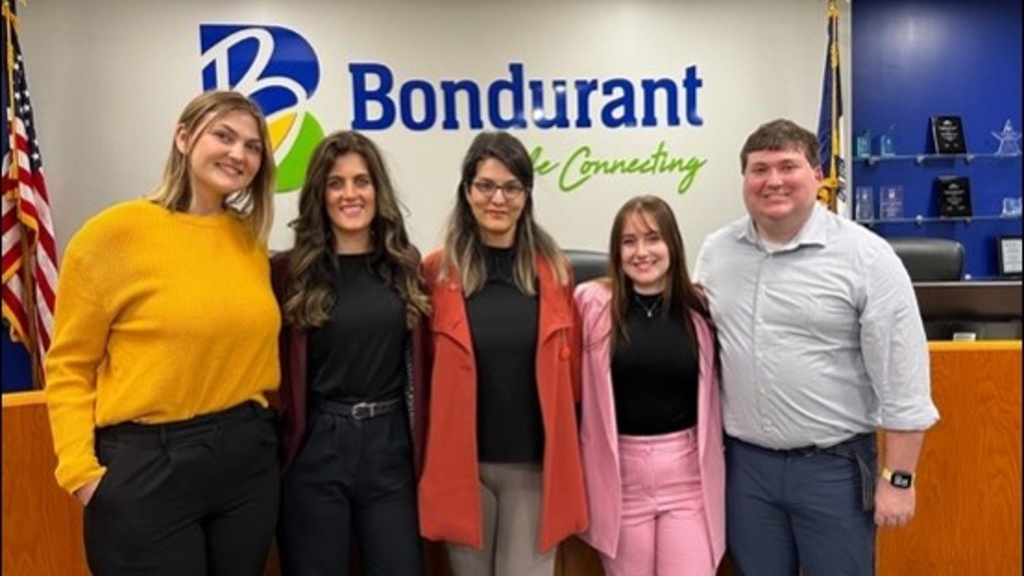
Bondurant - Public Safety Study
Masters of Public Affairs students in the School of Planning and Public Affairs conducted a study to provide decision-making support to Bondurant community leaders as they consider alternatives for public safety and law enforcement services.
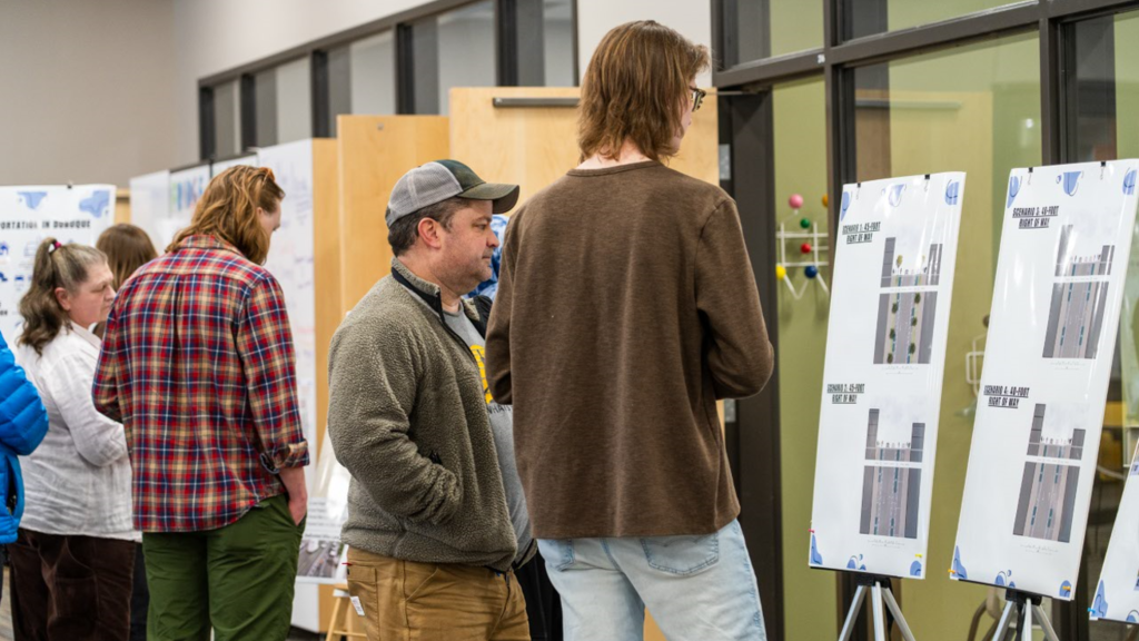
Dubuque - Alternative Transportation Action Plan
As part of their capstone project, second-year Urban & Regional Planning graduate students created a plan to spur action toward improving bicycle and pedestrian infrastructure in Dubuque.
As part of its ambitious sustainability plans, Dubuque seeks to reduce vehicle dependency and vehicle miles traveled (VMT) and create/promote accessible and equitable transportation alternatives.
Bondurant - Parks, Trails, and Greenways Master Plan
Urban & Regional Planning and Sustainable Development graduate students developed new Parks, Trails, and Greenways Master Plan that provides comprehensive vision of Bondurant's local park system, recreation facilities, natural resources, and other public open spaces.
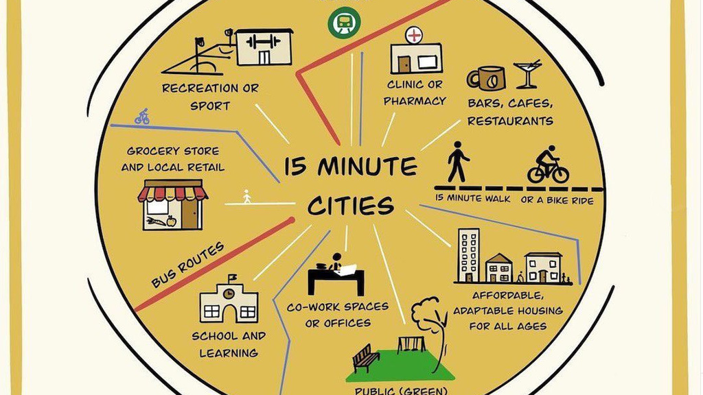
Cedar Rapids - 15-Minute Cities: Best Practices and Literature Review
Students in the Transportation Planning Studio will collaborate with the Corridor MPO and City of Cedar Rapids to develop a guidebook that collects the current state of 15-minute city planning efforts, focused on North American examples. The guidebook will pull together information on initiatives currently underway, processes for developing 15-minute city plans, implementation challenges, and analysis techniques.

Mapping Clinton's Municipal Districts in GIS
IISC staff used GIS to convert legal descriptions in the City of Clinton code into GIS shapefiles to aid city staff and developers.