Monticello Floodplain and Prairie Restoration
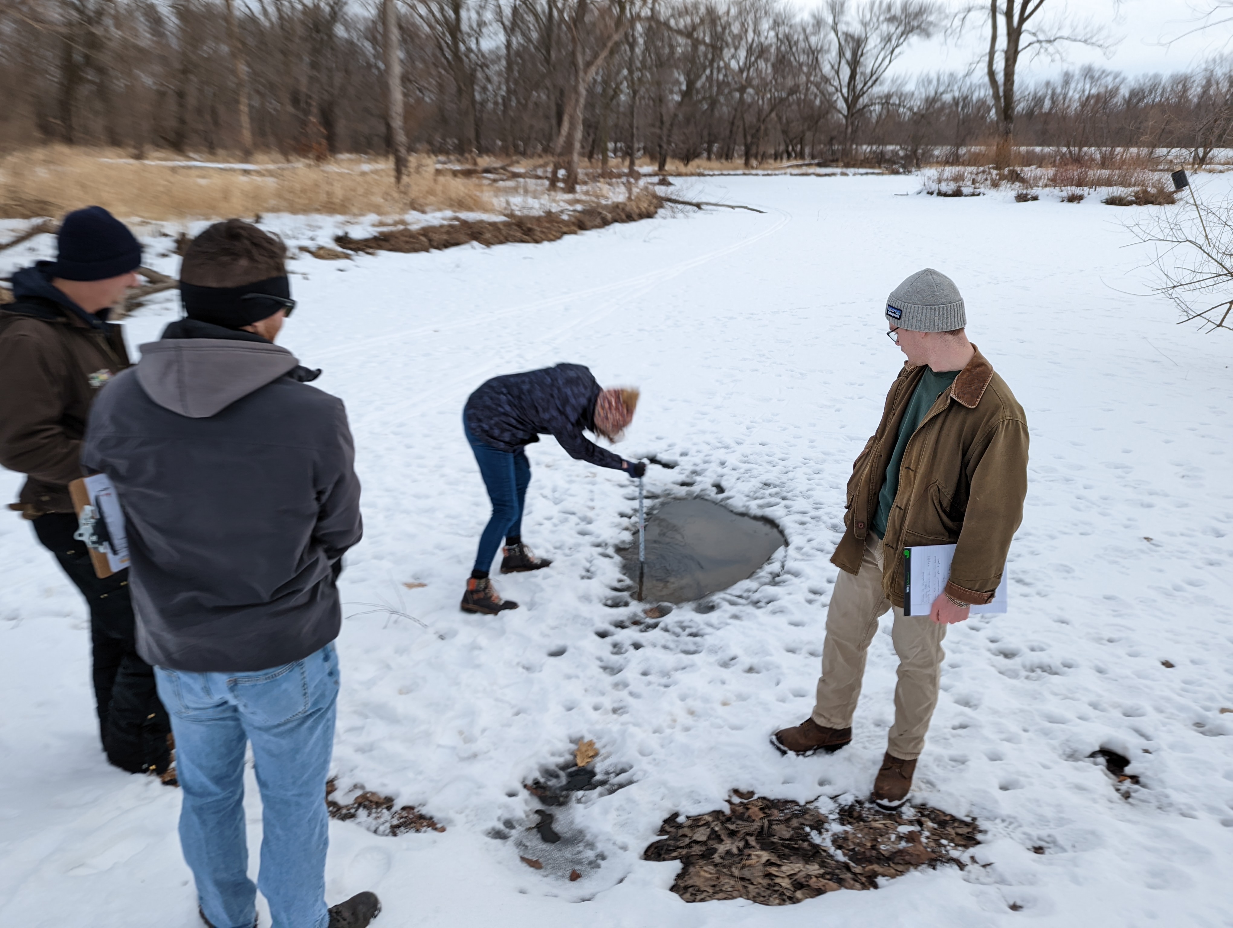
As part of the Senior Design Capstone Course in the Department of Civil and Environmental Engineering, a group of students completed engineering plans for the redesign of a riverside constructed wetland and a 12-acre flood plain and prairie in Monticello, Iowa.
The riverside wetlands is the first funded REAP project, and is in need of refurbishing to restore its function after decades of neglect. Goals for this project include the restoration of wetland function, reduction of stormwater erosion, reduction of mosquitoes and other undesirable insects, and to improve access to the Maquoketa River.
The 12-acre flood plain and prairie is located a short distance from the wetland. The on-site detention ponds needs to be evaluated and redesigned to improve water quantity and quality, establish walking trails, and provide access to the Maquoketa River.
The project team followed an iterative process of evaluating several alternatives on their capacity to meet standard design recommendations and to satisfy project goals. Trails were designed to meet the objective of connecting the sites with surrounding areas while not interfering with the hydrologic function of the stormwater structures. State standards and commonly accepted design guides (Iowa Storm Water Management Manual, EPA Stormwater Wet Pond and Wetland Management Guidebook) for similar projects were referenced in the design phase.
Final design recommendations for the riverside site include minor improvements to the wetland and the removal and replacement of the trail system. For the wetland, the existing stormwater treatment was determined to be adequate and only requires the concrete conveyance channel to be replaced with a native plant-lined swale for appropriate erosion control and stormwater treatment. For the trails, the existing trail system will need to be removed and replaced with a higher standard trail that is ADA compliant. The request for a river access at this site was evaluated and determined to be infeasible due to the heavy erosive nature at the river’s bank.
For the 12-acre site, final design recommendations include completely redesigning the floodplain into a constructed wetland and constructing concrete trails to connect the existing trail to the south to the local business district to the west and eventually north to the riverside site. The existing pond will overflow into a new conveyance channel to the existing storm ditch where it will combine with outflow from storm sewers and into a constructed wetland. Diverting the combined stormwater into a wetland system for treatment will improve stormwater quality, reduce erosion, and increase the aesthetic value of the area. The new trail system will serve as a berm and help to direct pond outflow toward the wetland entrance.
Final deliverables include a final presentation, designs, and report outlining plans and total cost estimations.
