Waterloo
Waterloo was an IISC partner for the 2020-21 academic year.

Projects
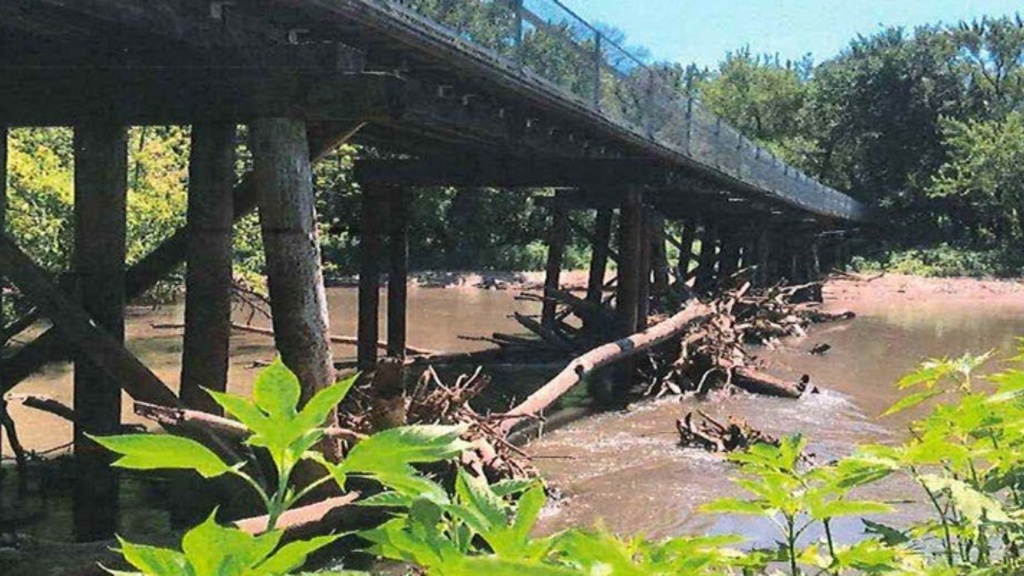
Cedar Prairie Trail Pedestrian Bridge Replacement
Civil & Environmental Engineering students created a design for replacement of a pedestrian bridge for the Cedar Prairie Trail in Waterloo, Iowa.
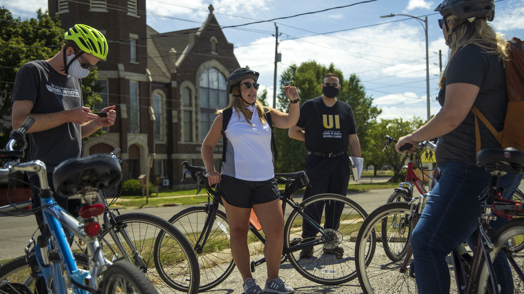
Church Row Neighborhood Plan
As part of their capstone project, second-year graduate students from the School of Planning & Public Affairs created a neighborhood plan for Waterloo's Church Row neighborhood.
The City of Waterloo (pop. 67,798) sought assistance with the development of a Neighborhood Plan for Church Row, a core neighborhood located near downtown in order to foster a more safe, attractive, and welcoming area that provides opportunities for economic development, healthy and affordable living, and a high quality of life for residents.
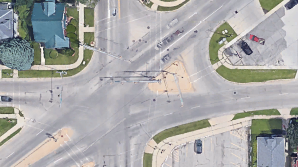
Church Row Neighborhood: Sustainable and Equitable Transportation
Combined with the effort to create the Church Row neighborhood plan, a course in the School of Planning & Public Affairs assessed the walkability and accessibility of the Church Row neighborhood, particularly focusing issues of equity that include safety, access to employment and basic needs services, public transportation, parks and open space, and more.
Downtown Waterloo Parking Study
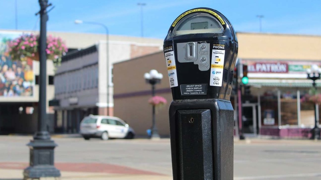
Students in the School of Planning & Public Affairs graduate course Transportation Demand Analysis completed a parking study for Waterloo’s downtown district.
Fire Rescue Community Risk Assessment
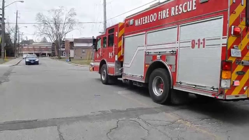
As part of the ICIGO student organization within the Department of Geographical and Sustainability Sciences, students used GIS to analyze risk factors and indicators of emergency management hotspots in Waterloo.
Community Risk Reduction is defined as “a process to identify and prioritize local risks, followed by the integrated and strategic investment of resources (emergency response and prevention) to reduce their occurrence and impact” (Vision 20/20).
Housing Policy & Resources - Part I
Students in the Fall semester Policy and Persuasion course worked with Waterloo representatives to first identify some of the most pressing issues related to home ownership and affordability, and then to develop policy recommendations for the City moving forward.
Four student groups focused on distinct, yet overlapping housing issues:

Housing Policy & Resources - Part II
Students in the Spring semester Policy and Persuasion course continued developing policy recommendations around high-priority housing issues in Waterloo, building on work done by groups in the previous semester and creating both policy recommendations and resources.
Master Plan for former Edison School site
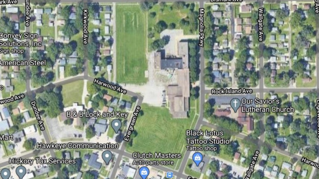
Civil & Environmental Engineering students created a site development plan for the area around the former Edison Elementary school building.
The City of Waterloo is considering alternatives for redevelopment of a site that was the location of the now-closed Edison Elementary School. One of the most important considerations for the project would be that it would both fit and enhance the character of the surrounding neighborhood.

Pedestrian Overpass for 4th Street Rail Crossing
Civil & Environmental Engineering students designed a cable-stayed pedestrian bridge to serve as a pedestrian overpass at a busy railroad and street intersection in Waterloo, Iowa.

Waterloo Fair Chance Initiative Study
College of Law students in the Community Empowerment Law Project conducted a study to evaluate the implementation and community awareness about the Fair Chance Initiative in Waterloo, also known as "Ban the Box."

Waterloo Law Enforcement, Mental Health, and Community Relations
Graduate and advanced undergraduate students in the Department of Sociology & Criminology studied the relationship between law enforcement and mental health cases in Waterloo.
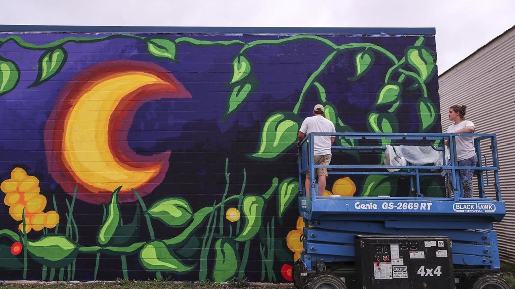
Waterloo Mural
Working closely with Waterloo’s Center for the Arts, MFA student Sean Tyler designed and installed two murals at the gateway to the downtown district.
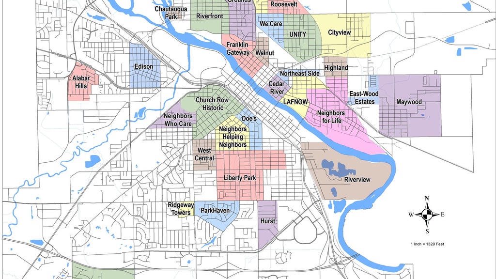
Waterloo Neighborhood Maps
Students in the ICIGO student organization within the Department of Geographical and Sustainability Sciences created visually-appealing and dynamic maps to show organizational and jurisdictional subsections of Waterloo.
The team used GIS applications to create a user-friendly online map that allows residents to easily access boundary information of distinct parts of the city, including all 31 neighborhood associations, wards and precincts, census tracts, and more.
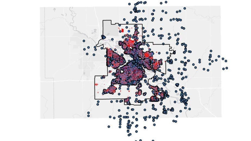
Waterloo Public Library Account Holder Map and Database
The Waterloo Public Library sought to understand how account holders were spread across Waterloo in order to identify areas that may need to be better served. Addresses of existing account holders were mapped with GIS, which provided several opportunities for further analysis, including account holders outside of city boundaries, households not using WPL services, and more.

Waterloo Public Library Marketing Campaign to Promote Business Services
Juniors in the Tippie College of Business Marketing Institute developed a marketing strategy to help the Waterloo Public Library increase outreach to the business community in Waterloo.
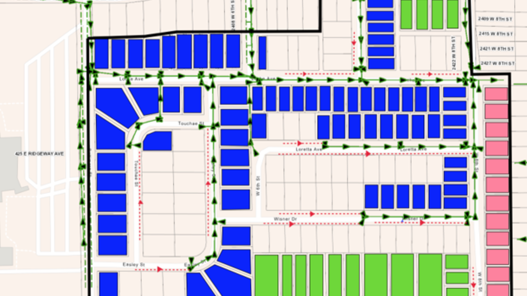
Waterloo Sump Pump Discharge Systems Design & Engineering
As part of their Senior Design Capstone course, Civil & Environmental Engineering students recommended and designed systems for resolving sump pump discharge issues that have created problems in residential Waterloo neighborhoods.