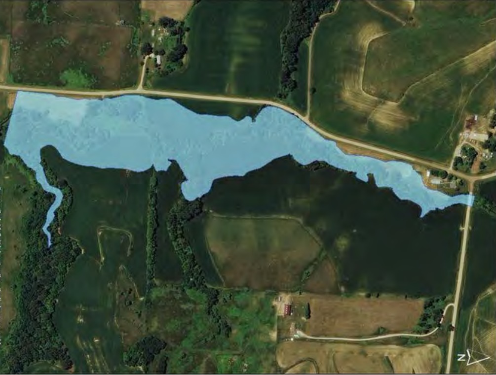
Perry Creek Flood Control and Design
Widening, straightening, embankment work, conduit reconstruction, levees, drainage structures, public and private utilities relocation, bridges, street construction, and appurtenant flood control measures to protect persons and property in the Perry Creek Valley. The project started at the Missouri River and continued north upstream to the city limits. Phases 1 through 4 are complete. The Phase 4 Levee raise was completed to 23rd Street in 2012.
Phase 5 work on Perry Creek was north Stone Park Boulevard. City staff, at the time, continued to evaluate improvements to reduce flooding and flood zones within the city limits. Nearly 400 parcels were left to evaluate for protection. Evaluations of this area were conducted in FY2014 as part of the Dearborne and 38th Street bridge design. Platting of the Perry Creek as a designated parcel or series of parcels that accurately reflect the creek cross section allowed for the disposal of the remnant properties. There were also plans to extend the Perry Creek trail connection north of Stone Park Boulevard.
