Transportation

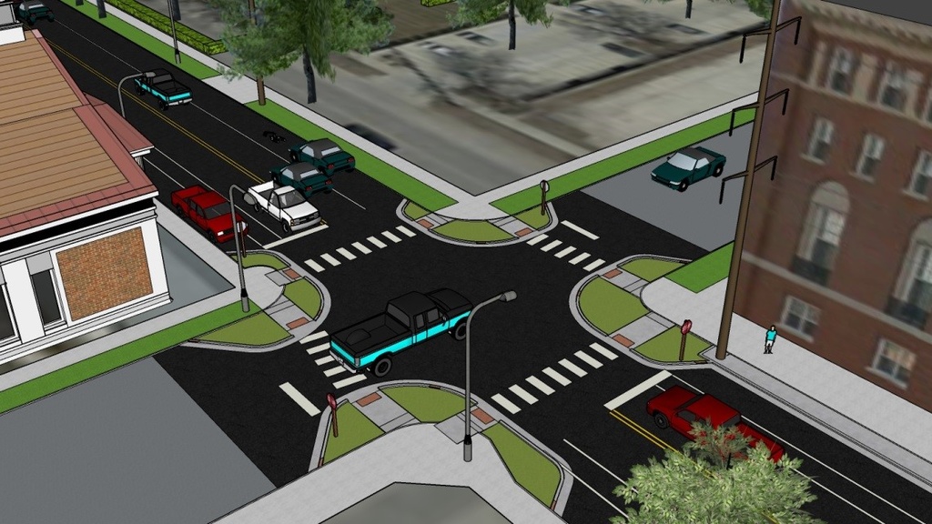
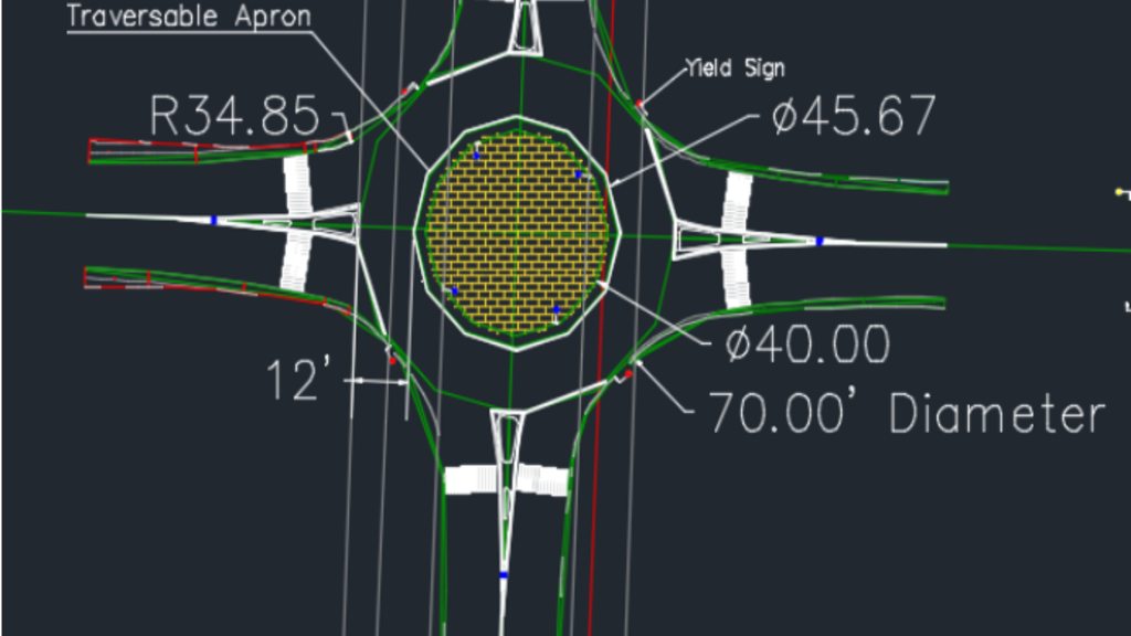
Pennsylvania Ave Complete Streets Design Alternatives
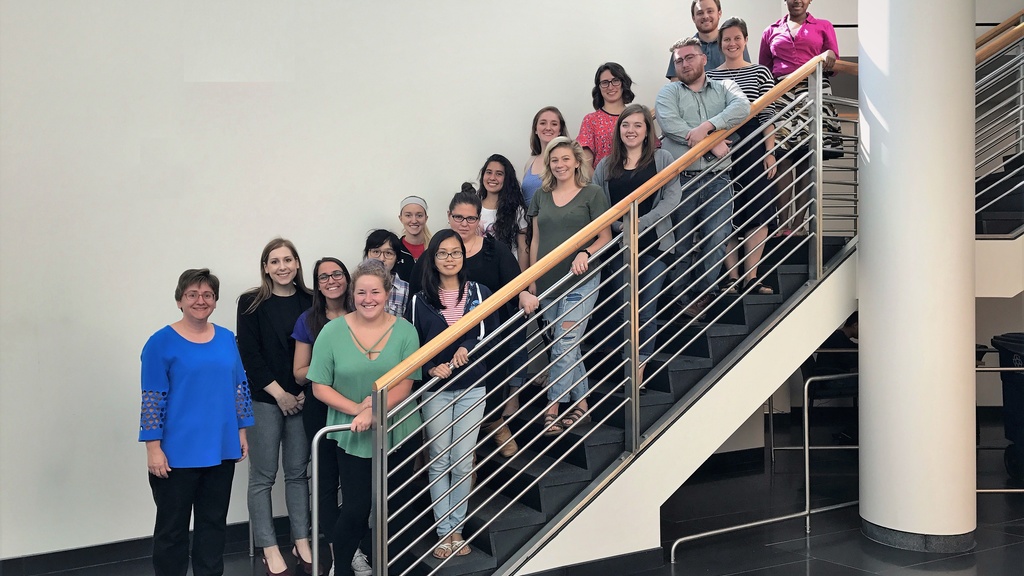
As part of their Senior Design Capstone course, Civil & Environmental Engineering students created complete street designs for Pennsylvania Avenue in Mason City.

Mason City "Aging in Place" Public Health Campaigns
Graduate students in the College of Public Health developed campaigns for the Mason City community that address issues related to the increasing proportion of older residents in the community. The public health campaigns were tailored to help Mason City residents better "age in place", which can mean helping individuals stay in their own homes longer, as well as helping the community adapt and develop resources that make Mason City functional and attractive for older residents.
Transportation Infrastructure Impacts of Frac Sand Mining Industry
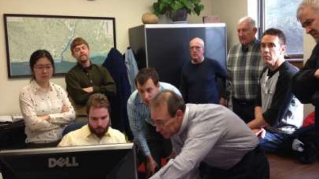
To estimate the impacts and maintenance costs of the frac sand mining industry on roads and bridges, transportation engineering faculty and students reviewed literature on similar case studies, evaluated the properties of the materials of pavement materials, and used design software to analyze the impacts of increased truck traffic for Winneshiek County.

Country Club Boulevard Reconstruction and Traffic Calming Alternatives
Engineering students developed recommendations for traffic calming and reconstruction to lead to a safer roadway for residents of the Hamilton Boulevard intersection area.

Leeds/Floyd Boulevard Corridor Study
This project focused on the Leeds Neighborhood, located in northeast Sioux City. The commercial corridor within this neighborhood serves as the northeast entryway into Sioux City. The corridor contains a mixture of small retail stores, restaurants, and service establishments that serve the local neighborhood. As new national brand commercial developments continue to develop to the south of the Leeds neighborhood, the future character of its commercial corridor has been called into question. Students from the Urban & Regional Planning Dept.

North East Corridor Project
Students analyzed a land use plan against development in the northeast section of the city, and, where appropriate, enhanced the concepts contained in the plan.

Connectivity Master Plan and Wayfinding
Students in the School of Urban and Regional Planning developed a connectivity master plan for Muscatine that evaluated current infrastructure and created a plan for better connectivity between walking and biking trails, sidewalks, streets, bus routes and major points of interest.