College of Liberal Arts & Sciences
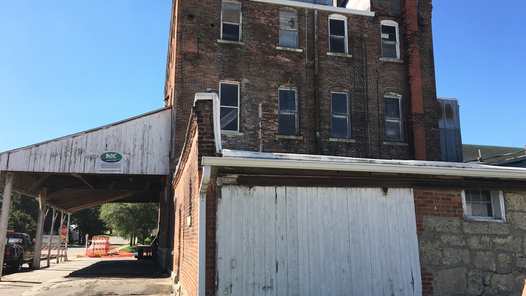
Regional Brownfields and Social Vulnerability
In a report to the the East Central Intergovernmental Association (ECIA), a student in the Geographical & Sustainability Studies: Senior Project Seminar class completed an independent project that evaluated spatial relationships between Brownfields sites and public school buildings, using free and reduced lunch rates as an indicator of vulnerability.
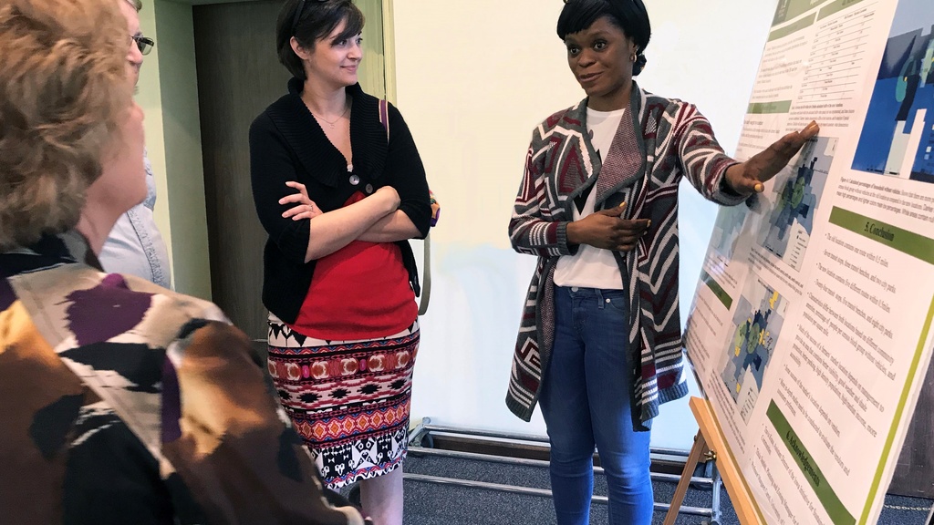
North Iowa Farmers Market Site Evaluation
In a report to the City of Mason City and North Iowa Farmers’ Market Board of Directors, a student in the Geographical & Sustainability Studies: Senior Project Seminar class completed an independent project that evaluated two Mason City farmers market site locations based on mobility and accessibility indicators.
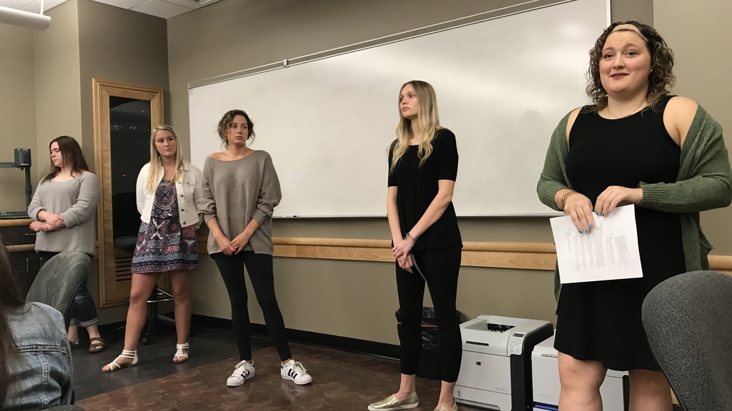
Maquoketa Art Experience Marketing
Students from the School of Journalism & Mass Communication created a strategic marketing plan to attract artists and art enthusiasts to the Maquoketa Art Experience, a non-profit organization with a physical community space in downtown Maquoketa.
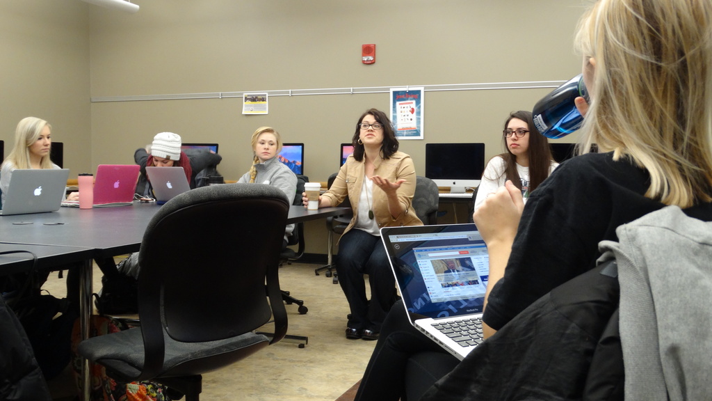
ECIA Communications Plan
Students from the School of Journalism & Mass Communication created a strategic communications plan for East Central Intergovernmental Association (ECIA) that established internal standards for communicating to members and residents in their region.

Mason City Public Transit Ridership Campaign
Students from the School of Journalism & Mass Communication developed a strategic marketing and communications campaign to attract new riders for the Mason City’s public transit system, using creative outreach materials and various communications platforms to reach target audiences.
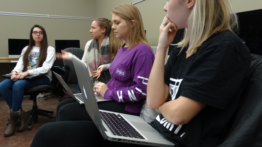
Mason City Civic Engagement Campaign
Students from the School of Journalism & Mass Communication created a strategic marketing and communications campaign to encourage civic engagement among Mason City residents and to recruit volunteers to serve on local government boards.
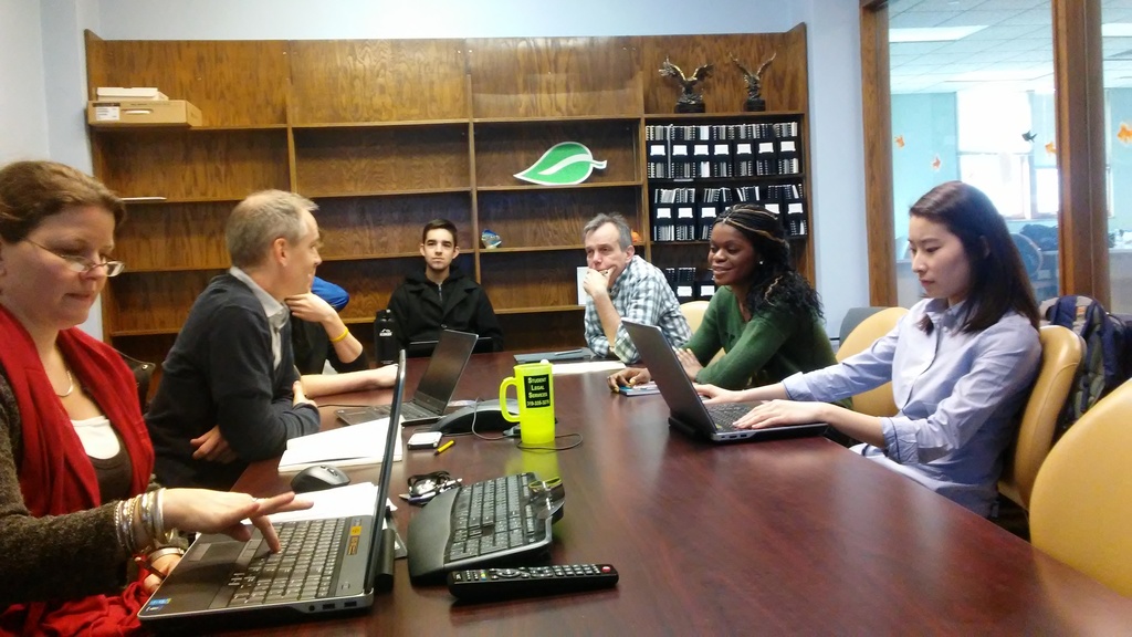
Flooding Risk Assessment using HAZUS modeling
Students in the Department of Geographical and Sustainability Sciences course GIS for Environmental Studies course conducted a flooding risk assessment for the Cerro Gordo County Emergency Management Agency using HAZUS modeling software.
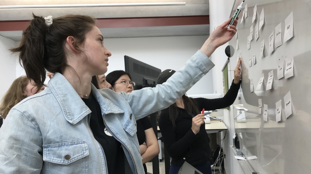
Mason City Community Mobile App Graphic Design
Students in the School of Art & Art History Graphic Design course designed a community-based mobile app for the City of Mason City.
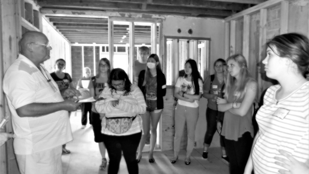
Edgewood Historical Museum Project
In a report to The Edgewood Museum Corporation, students in Heidi Lung's "Museums in the Digital Age" class recommended appropriate methods to digitize historical artifacts for a new community museum and developed a comprehensive communications plan for the organization.
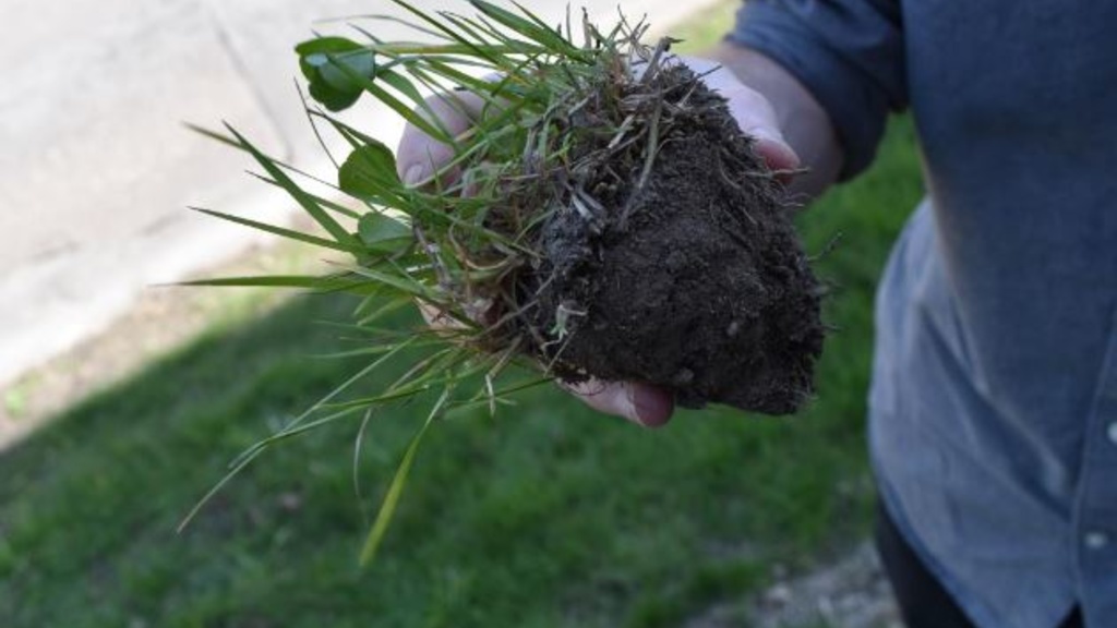
Urban Ecology
Students in a geography class completed two separate projects for Iowa City. The first project focused on the ecological functions of roadside vegetation in Iowa City, including identification of roadside land area in the city that can be prioritized for re-planting and re-design as native vegetation areas. The second project focused on urban raptors.
Tourism Communications
Graduate students in a communications campaigns course partnered with several different organizations across the Siouxland region to complete six different communication campaigns about different attractions and assets in the Siouxland region.
Safe Routes to School
Students conducted walkability assessments in two rural Woodbury County Communities. Using data from the assessments, students used ArcGIS Online to create a map of each community’s walkability strengths and weaknesses.