Earth, Environment & Sustainability

Lyon County - Utility Mapping in Alvord
As part of the ICIGO student organization within the School of Earth, Environment, and Sustainability, students will develop maps of existing utility infrastructure in the city of Alvord using Geographic Information System (GIS) tools.
The project will create a record of key utilities to support local infrastructure management, maintenance, planning, and future community development. The project may include mapping water, sanitary sewer, stormwater, and other available utility infrastructure.

Granger - Utility Mapping
As part of the ICIGO student organization within the School of Earth, Environment, and Sustainability, students will develop maps of existing utility infrastructure in the city of Granger using Geographic Information System (GIS) tools.
The project will create a record of key utilities to support local infrastructure management, maintenance, planning, and future community development. The project may include mapping water, sanitary sewer, stormwater, and other available utility infrastructure.

Ottumwa - 657A Property Abatement and Neighborhood Impact Analysis
As part of the ICIGO student organization within the School of Earth, Environment, and Sustainability, students will partner with the City of Ottumwa to analyze the neighborhood-level impacts of property demolitions conducted through Iowa's Chapter 657A process.
Lyon County - Utility Mapping in Doon
As part of the ICIGO student organization within the School of Earth, Environment, and Sustainability, students will develop maps of existing utility infrastructure in the city of Doon using Geographic Information System (GIS) tools.
The project will create a record of key utilities to support local infrastructure management, maintenance, planning, and future community development. The project may include mapping water, sanitary sewer, stormwater, and other available utility infrastructure.
Lyon County - County-wide Trail Mapping
As part of the ICIGO student organization within the School of Earth, Environment, and Sustainability, students will partner with Lyon County to develop a GIS-based inventory and map of existing trails throughout the county and analyze opportunities to expand the trail network.

West Branch - Land Value Mapping Study
As part of the ICIGO student organization within the School of Earth, Environment, and Sustainability, students conducted a land value mapping study.
ICIGO students utilized 2025 assessor data and GIS to visualize the assessed value of land in West Branch, normalized by determining the value of the each parcel by one acre. The resulting map provides a snapshot of relative value by land use, which can inform local officials about future land use decisions.
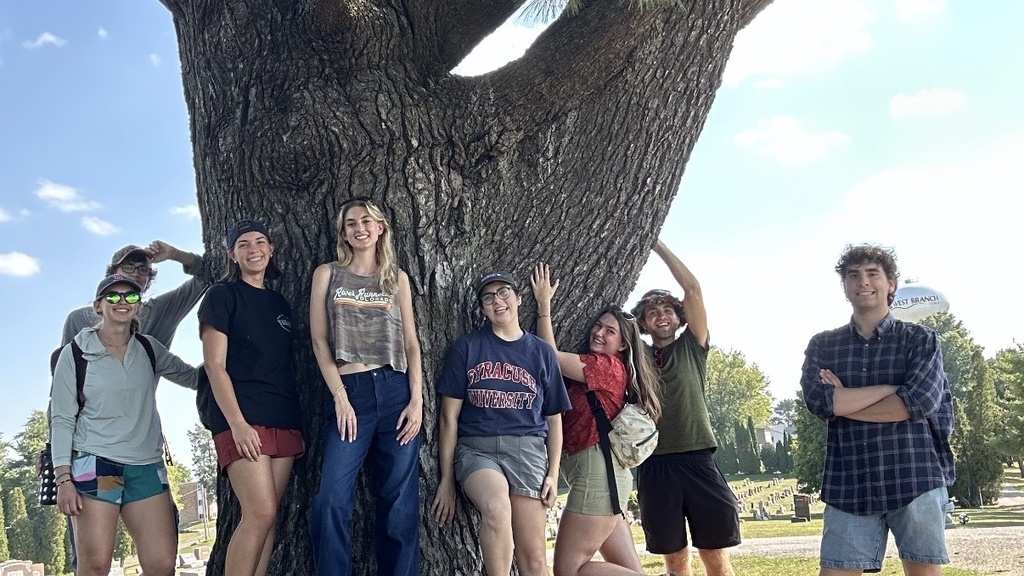
West Branch – Public Tree Inventory
As part of the ICIGO student organization within the School of Earth, Environment, and Sustainability, students conducted an on-site tree study and created a GIS-based digital inventory tool for city-owned trees in West Branch, Iowa.
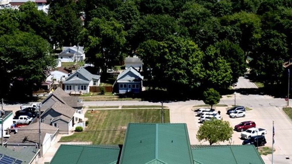
West Burlington GIS Data Development
Students in ICIGO created and mapped a wide range of data for the City of West Burlington using Geographic Information System (GIS) tools to help local officials identify opportunities for community improvements.
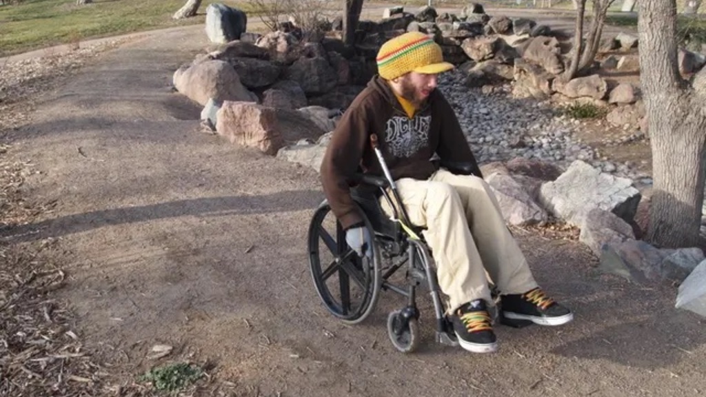
Pathfinders - Mapping Accessibility in Iowa’s Cultural Destinations
Students from Public Affairs and from a GIS student organization will help Pathfinders RC&D develop a statewide database and map of accessibility features in Iowa's parks, natural areas, and cultural spaces.
A new statewide initiative from Pathfinders Resource Conservation and Development (RC&D) aims to help individuals with disabilities and their caregivers better navigate opportunities to enjoy Iowa’s parks and cultural spaces.
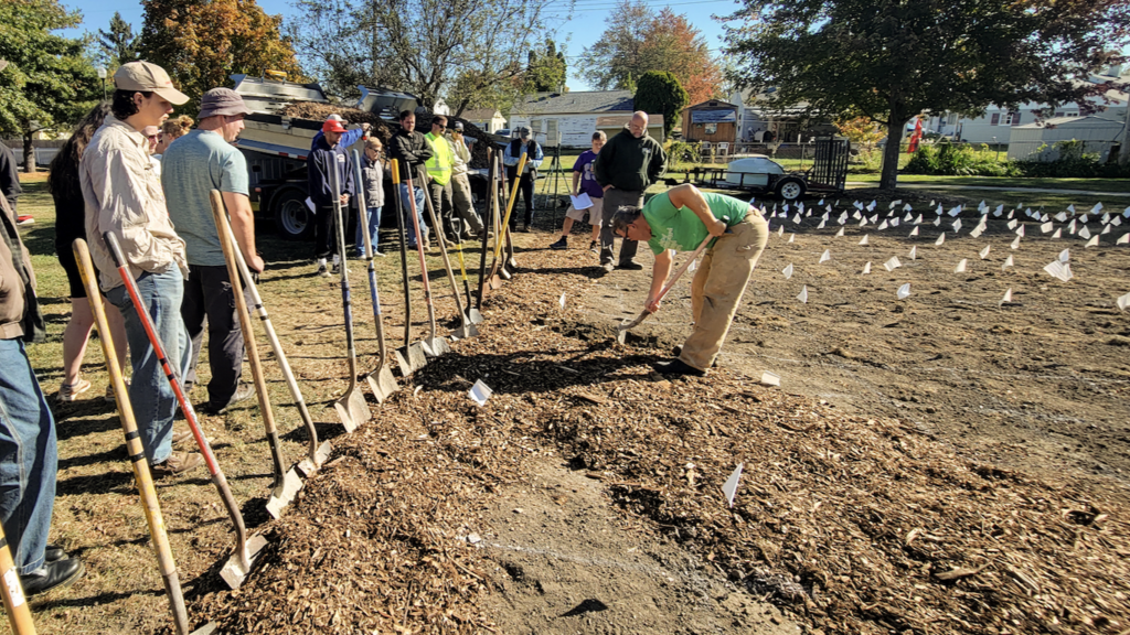
West Burlington - Pollinator Garden
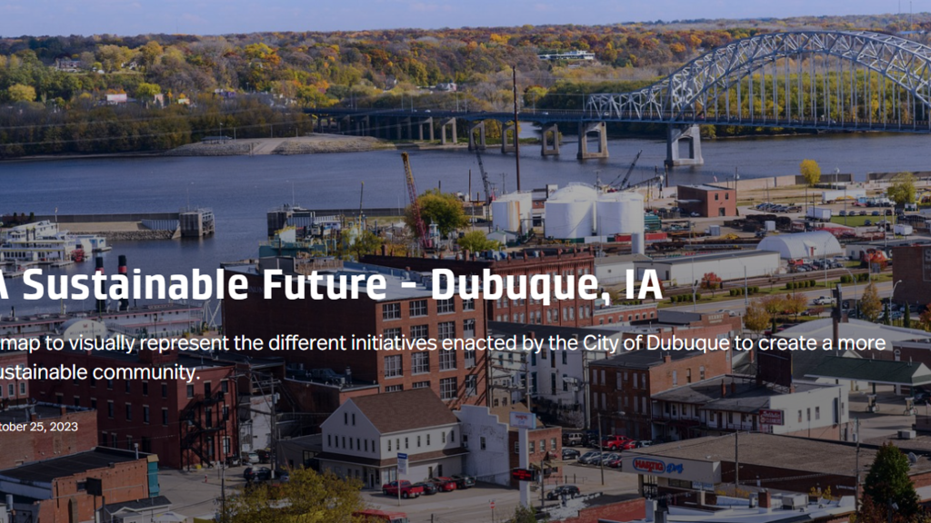
StoryMap of Dubuque's Sustainability Infrastructure Projects
As part of the ICIGO student organization within the Department of Geographical and Sustainability Sciences, students created a StoryMap that highlights green infrastructure projects in Dubuque.
The city of Dubuque has been widely recognized for prioritizing sustainability in community and economic development. ICIGO students created a StoryMap highlights many of the current and past initiatives that help make Dubuque a more sustainable and resilient community.
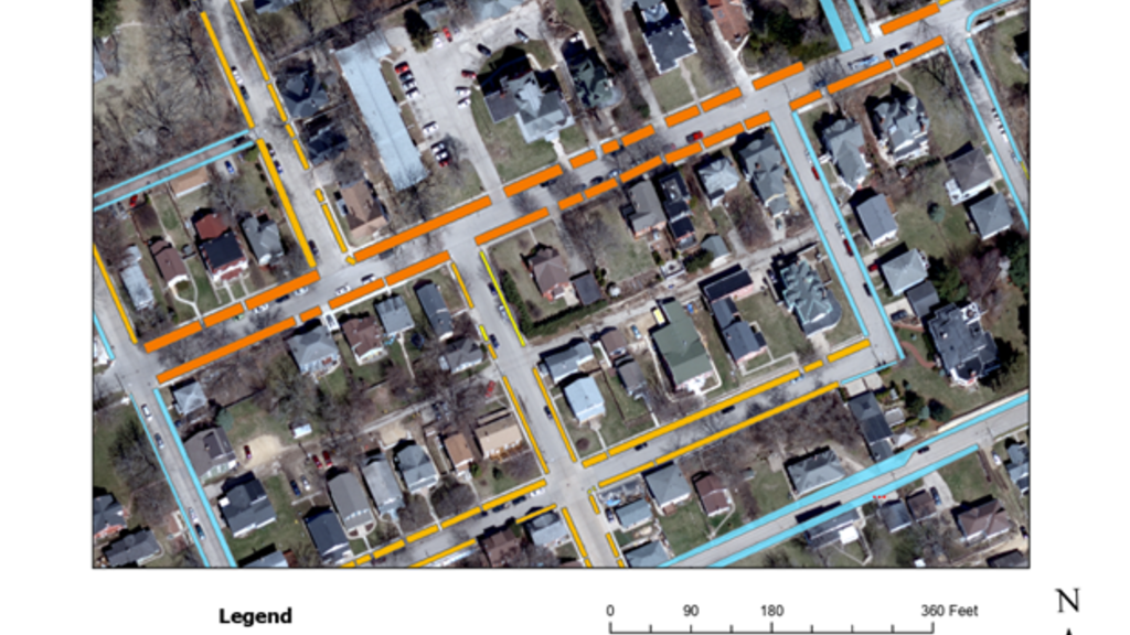
Dubuque - Tree Canopy GIS Tool
As part of the ICIGO student organization within the Department of Geographical and Sustainability Sciences, Environmental Science major Luke Caron digitized "road verges" - strips of groundcover located between a roadway and a sidewalk - to help the City of Dubuque identify the best opportunities to enhance the city's tree canopy.